Monsoon has been fairly active over many parts of West Coast with Cauvery Basin once again receiving heavy inflows across its dams. Unlike last year which saw complete collapse of inflows after the mid August deluge this spell during the late monsoon season augurs well for both Karnataka & Tamil Nadu. With proper water resource management the summer of 2020 can be better managed compared to 2019.

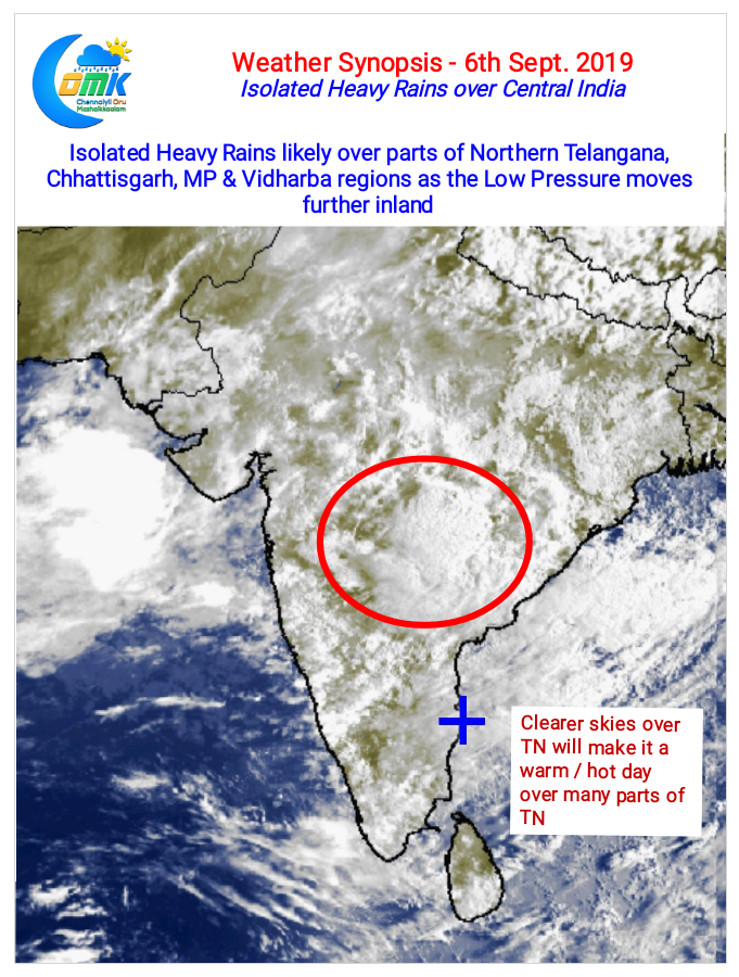
Similarly both Krishna & Godavari basin is also likely to receive heavy inflows in the next few days as the convection created by the Low Pressure, currently lying over Odisha / Gangetic Bengal / Jharkhand region, moves in a Westward direction. Today parts of Central India along with adjoining parts of North Telangana & North Andhra Pradesh could see isolated heavy rains influenced by the LPA. West coast will continue to receive moderate to heavy rains at many places.

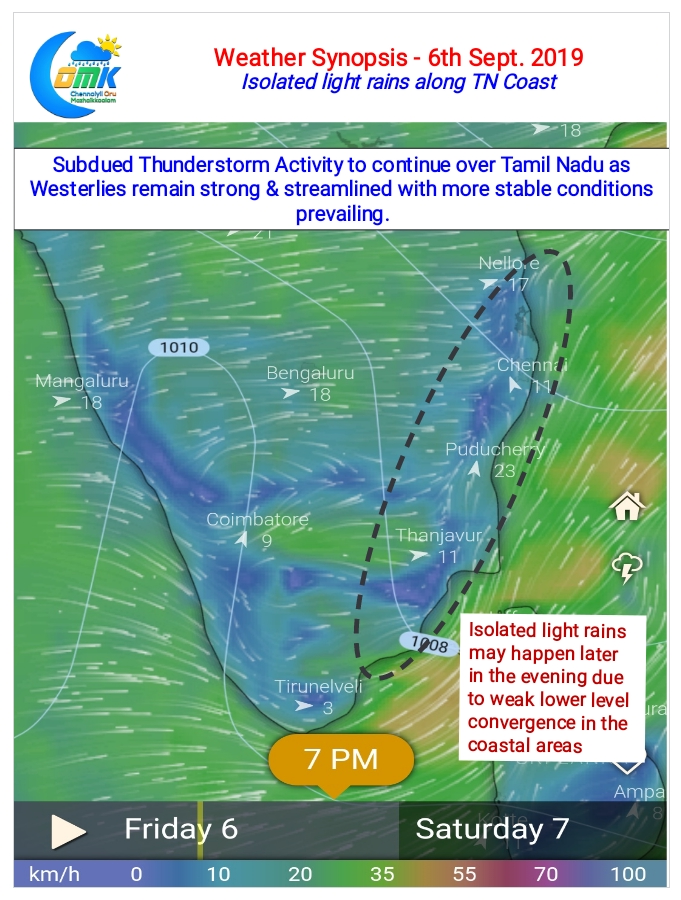
As far as Tamil Nadu goes while places along the Western Ghats are likely to see moderate rains at many places rest of the state may not see much thunderstorm activity except for few places along the coast, in particular around Sivaganga, Pudukkottai & Delta districts, which might see weak thunderstorm activity due to feeble lower lever convergence.

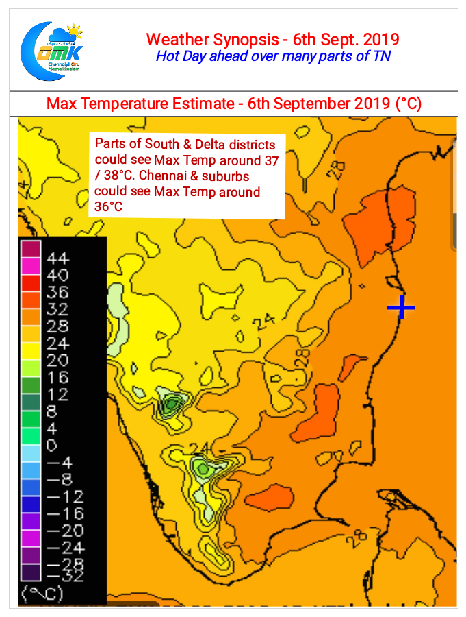
Overall though the day time temperatures in the state might be slightly warmer than the past few days due to much clearer skies. Parts of South TN & Areas around Delta, Pudukkottai could see Max temperatures inch closer to 100°F while Chennai & suburbs may see day time high settle around 36°C


