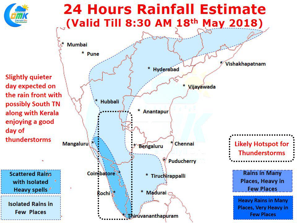
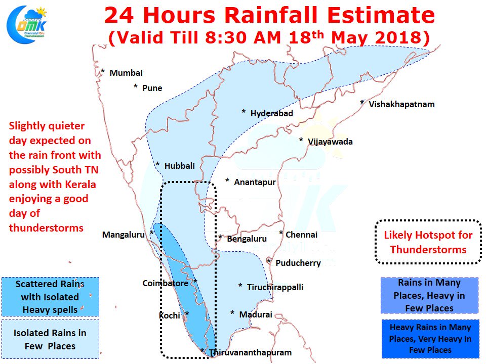
South Tamil Nadu has been enjoying a decent Pre Monsoon Thunderstorm season so far with places around Madurai / Theni / Virudhunagar / Dindigul recording regular rains. While the rains have not been eye catching like that off those happening in West Interior TN & parts of Central TN they have been well appreciated by the public for providing much needed rains without doubts.
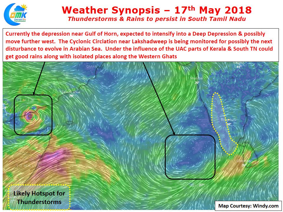
Today also once again parts of South Tamil Nadu will get moderate rains under the influence of the Upper Air Cyclonic Circulation currently near Lakshadweep. The pattern is pretty much standard template for South Tamil Nadu when such circulations happen. Early Morning Rains along the coast with subsequently remnant moisture moving across the interiors bringing thunderstorms during the afternoon hours along the Western Ghats.
Numerical Models indicate parts of Kanyakumari & Tirunelveli districts along the ghats could get good rains today under the influence of the circulation while along the Western Ghats the usual suspects will get some isolated heavy spells of rains. On the temperature front the trend of subdued summer will continue to persist over most of Tamil Nadu with South TN enjoying a fairly comfortable day overall under partly cloudy skies. Places like Chennai in North Tamil Nadu could see slightly more warmer conditions though the overall trend of near normal or slightly below normal temperatures will continue.


