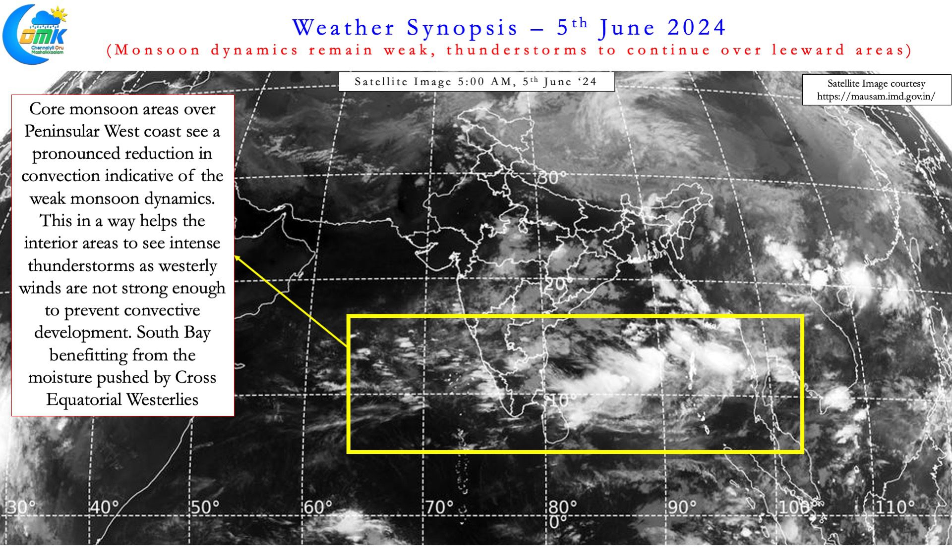
Since the onset of Monsoon over Kerala on 30th May interior Peninsular India has been seeing thunderstorms almost day. As is always the case chance for coastal places like Chennai improves when the steering winds get stronger. The steering winds at this time of the year is from the west in line with the seasonal westerlies. A couple of days back some of the southern suburbs and places like Meenambakkam saw thunderstorms. Yesterday was possibly the first day of widespread thunderstorms around Chennai and suburbs.
Southwest Monsoon has been progressing gradually over Peninsular India on the back of the East West Shear zone climbing up. Weather models indicate the Northward progression of the shear zone may stall for the next few days. This could mean monsoon progress also may slow down for the next few days. Sub seasonal models also indicate poor rains for core monsoon zone along the coast over the next couple of weeks. Simultaneously interior areas of North Peninsular India may see enhanced thunderstorm activity.
This persisting Shear Zone with an embedded cyclonic circulation provides a window of thunderstorms for North TN as well. With the steering winds strengthening thunderstorms from the west have better chance of reaching the coast from now on. With monsoon dynamics still relatively weak the steering is not too strong to shear convection build up. It is not the near perfect Equilibrium state one sees during break in monsoon period for thunderstorms over the leeward areas of Peninsular India. But certainly the winds are at a pace that allows convection build up and get dragged to the coast from interiors.


It is essential for this steering to remain favourable as very rarely we see thunderstorms form along the East coast during Southwest Monsoon season. Bulk of the rains for places like Chennai is on account of thunderstorms moving in from the west. But Chennai has one advantage which many places along the coast do not have. A convex coast that brings different dimension to sea breeze moving in from East. The interaction of the sea breeze front with the incoming thunderstorms set the stage for a possible intensification closer to the coast. Even a small match stick remnant moisture filled thunderstorm can develop into a full blown cell through this interaction. Yesterday also some of the northern suburbs of Chennai witnessed such an intensification eventually bringing widespread rains across the city as storms moved from WNW.
Today may be one of the best opportunities for Chennai to see widespread thunderstorm activity. But there is a 50:50 chance this could extend by another day or two as well. This though may depend on how the cyclonic circulation and the shear zone behaves during rest of the week. Today may see most of North TN all the way from Krishnagiri to Tiruvallur district witness rains at many places. There is a chance some parts of Delta also may see moderate thunderstorms. Isolated places in South TN may see some thunderstorm activity but it could be very limited though.
Though it is too early in the month, there is a high chance today may be the best day of rains for Chennai this June.

