For second straight day many parts of Tamil Nadu saw moderate thunderstorm activity with once again places in South TN around Ramanad dt seeing the bulk of rains while parts of Delta also received very good showers. Though thunderstorms formed to the west of Chennai there was not much support in the region which mean the storms around Chennai latitude never reached the coast to give rains to the capital of Tamil Nadu. Gummidipoondi to the NW of Chennai though recorded about 2 cms from evening thunderstorms. Even as this post is getting ready parts of Delta around Kumbakonam is receiving moderate showers. It is not often one gets to see early morning rains around 8 AM during Southwest Monsoon time.
In the meanwhile rains in west coast is expected to be sub par today as the westerlies slow down over Peninsular India while parts of Central India & adjoining parts of UP may see moderate to heavy rains in a few places influenced by the well marked low that now lies over Northern parts of Madhya Pradesh & adjoining areas of South UP. While this low completes is life cycle one needs to keep a watch on the circulation currently lying over Myanmar region of Indo China Peninsula which is likely to enter into Bay to possibly become the next Monsoon low, but it remains to be seen how intense this low may evolve as MISO may slowly become unfavorable for Indian Sub Continent by next week.
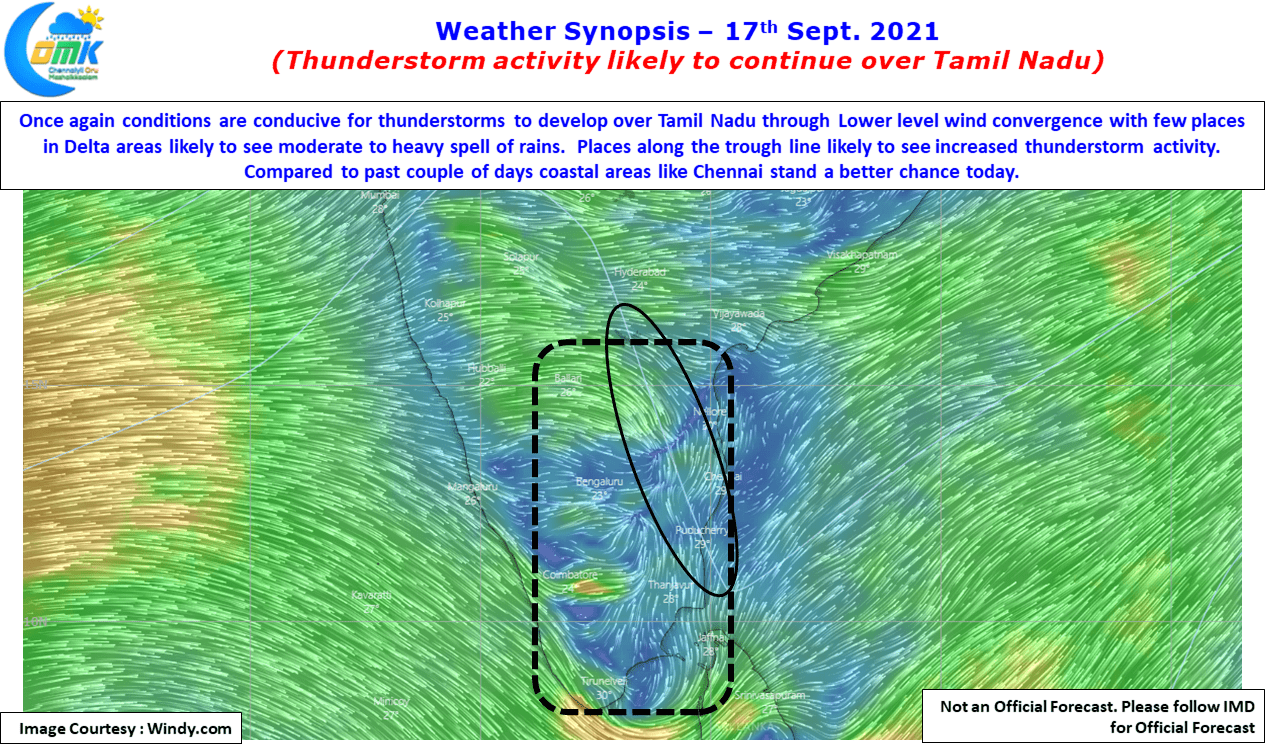
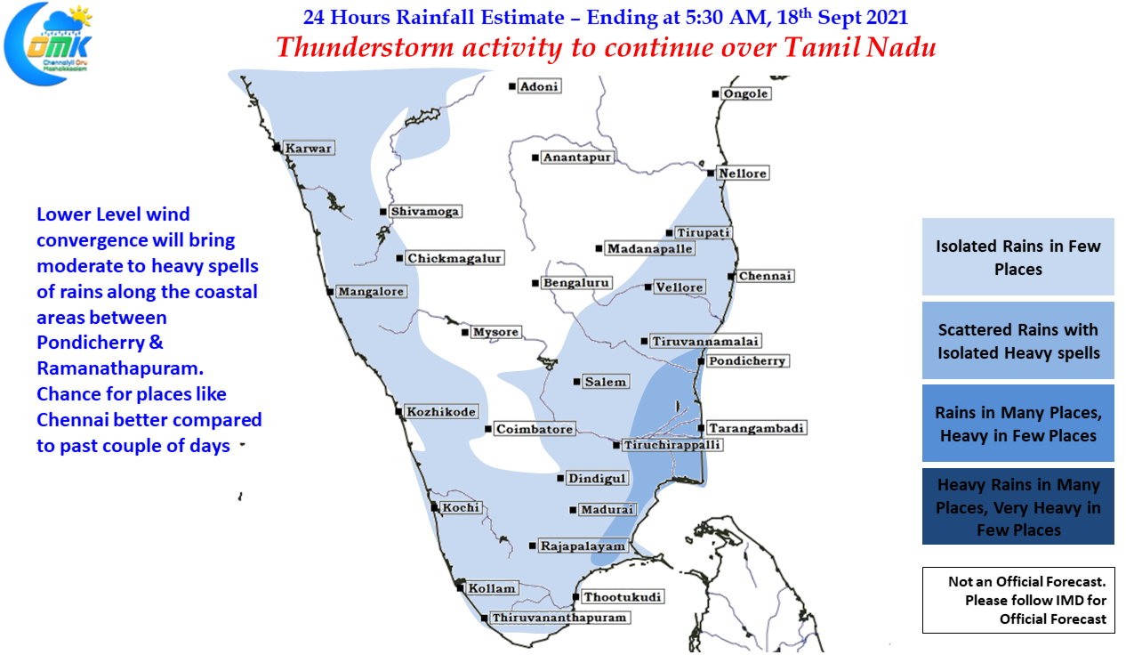
As far as thunderstorms in Tamil Nadu goes today we are likely to see thunderstorms continue today as well due to lower level wind convergence which is seen over many parts of the state. Particularly about 50 – 75 kms from the coastline we are likely to see strong wind convergence which could trigger thunderstorms during the day. The stretch between Pondicherry & Ramanathapuram dt is ideally placed to receive moderate to heavy spell of rains. In a good news compared to past couple of days chance for thunderstorms, particularly localized development, is higher today for Chennai & suburbs.


