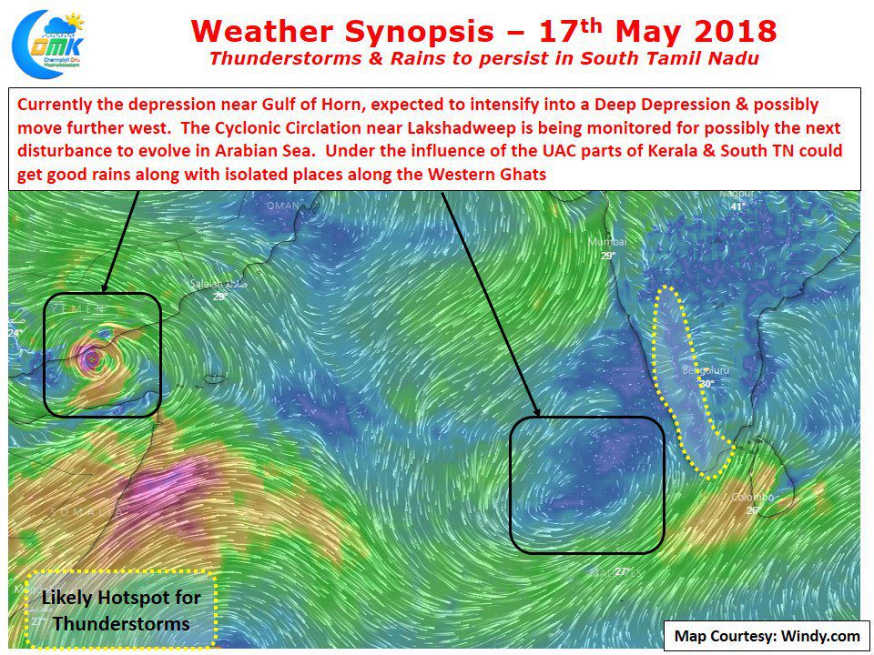
Yesterday saw widespread rains over many places of North & Central Tamil Nadu. The heaviest spells of rains happened the areas along Salem, Namakkal, Perambalur & Ariyalur and Nagapattinam districts.
Southwest Monsoon Update: The rains are now pretty much confined to the Himalayan region with the UAC over Bangladesh driving the rains over Northeast India. With a possible low over North Bay under development it could lead to potentially more rains for East & Northeast India. Most parts of the country would have to wait for the next spell of rains which could happen around last week of August / first week of September. The weak offshore trough over West Coast continues to provide some moisture incursion with rainfall over Karnataka & Kerala coasts. Southern Peninsula which was benefiting from the wind induced instability for the last few days could see reduction in rains over most places with some isolated thunderstorms the order of the day.
Tamil Nadu Weather Update: Partly cloudy skies for most parts of the state, clearer skies expected from tomorrow as the impact of wind induced instability fades away. Most areas of the state expected to see a dry day with some isolated thunderstorms possibility for North Coastal TN. Yesterday saw very heavy rains lash many places in North & Central Tamil Nadu. Crucially the rains helped the areas in Northern Parts of the Delta region.
Chennai Weather Update: Chennai expected to see a pleasant morning and a partly cloudy day with temperature around 34°C. One or two areas could receive passing spell of rains late in the evening, overall rains are expected to reduce.


