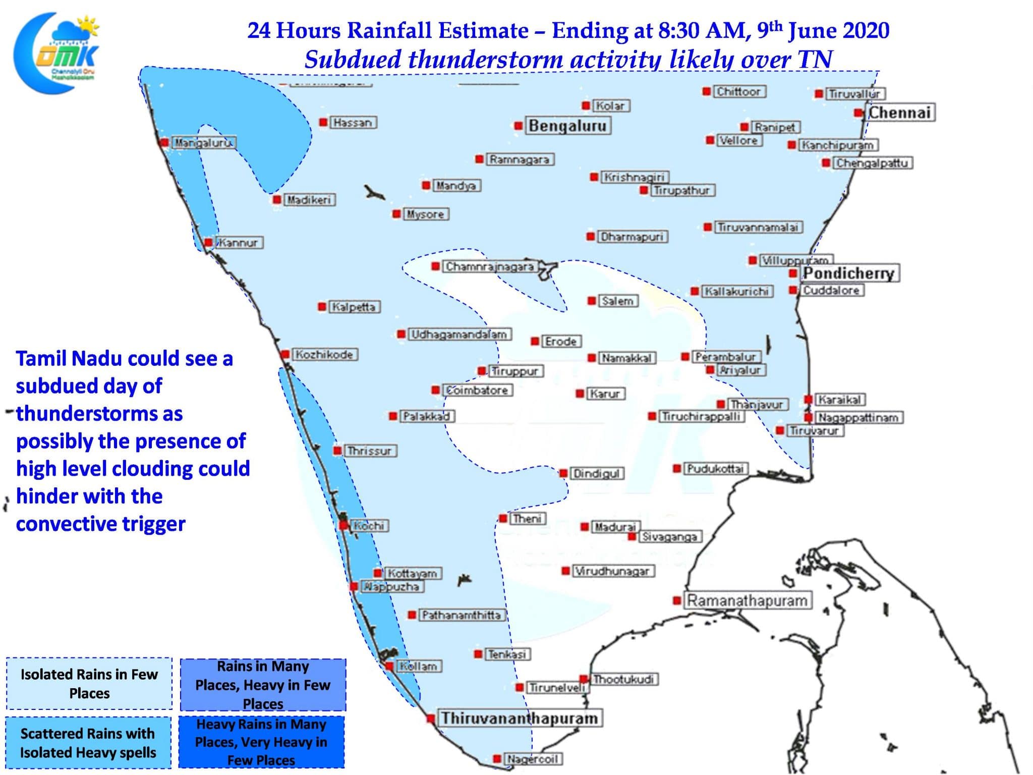
Since the onset of Monsoon over Kerala thunderstorms were also relatively active over many parts of Tamil Nadu though Chennai has been missing out even though suburbs around Chennai have got at least one decent spell of thunderstorms last week. Yesterday though was relatively quiet though with North TN not seeing much activity though one extremely isolated thunderstorm to the South of Chennai created some lovely rain shaft visuals.

Unlike the past week yesterday was the first time sea breeze pretty much became subdued as Westerlies held forte till about 3 PM. Even after arrival it was patchy and weak resulting in dud conditions for thunderstorms. Additionally the early morning high clouds also did not help the cause. This pretty much confirms once again how thunderstorms are complex dynamics which owe development to many factors and not just one.

Today once again the early part of the day High Clouding is seen over large parts of Tamil Nadu primarily as a function of the developing Low Pressure in Central Bay. Additionally weather models indicate the late arrival of sea breeze over coastal areas like Chennai once again. Today also once again sea breeze is expected to remain weak there by creating less than ideal conditions for thunderstorms to develop. But suburbs of Chennai could catch isolated sharp spell of showers in one or two places which will be extremely isolated and short lived when sea breeze intrusion happens.


