The last couple of days have seen temperatures stay below normal most of Tamil Nadu. Both the days since the start of Kathiri have not seen any IMD observatory touch 40°C. Tiruttani which was the hottest place in the state for both Friday & Saturday recorded 38.6°C & 39.4°C respectively.
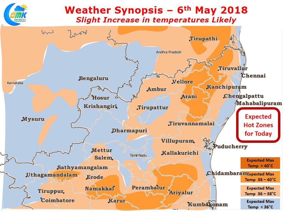
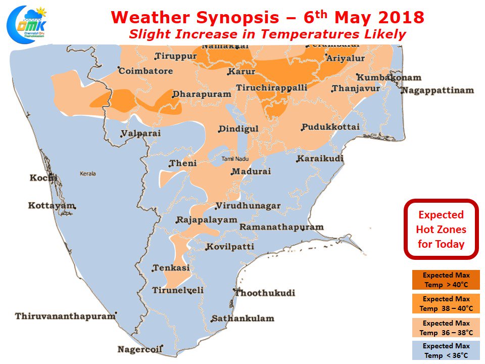
Models are indicating a slight increase in temperatures today compared to the last couple of days. This increase in temperatures is expected to be more visible in North Interior Tamil Nadu & Central parts of Tamil Nadu in the districts of Tiruchirappalli, Karur, Perambalur & Ariyalur.
South Tamil Nadu will relatively be better off due to the persistence of cloudy skies under the influence of the Easterlies. This will be a relief to places like Virudhunagar / Kovilpatti / Sivakasi which were seeing consistently high temperatures over most of last week.
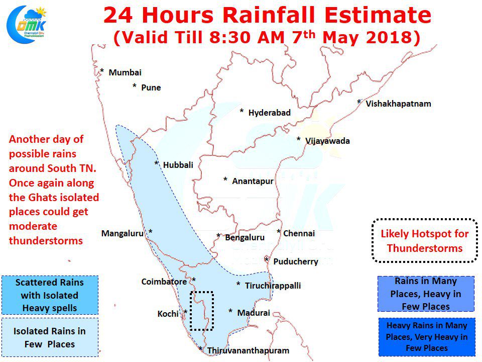
With models indicating the Easterlies to remain relatively dominant we might see another day of rains in parts of South Tamil Nadu. The TN Agri University weather station at Munchirai recorded 58 mm in one hour last evening as moist winds from South brought about good rains to parts of Kanyakumari district. While today heavy rains may be less likely one or two places near the ghats could get moderate spell on either side in Kerala & South TN.


