For the 3rd time in the last four days parts of Chennai & Suburbs recorded light to moderate rains. While Chennai Nungambakkam is still to record any meaningful spell of rains so far in so many months the Airport IMD observatory at Meenambakkam has accumulated 5 cm of rains so far. Its only a matter of time Nungambakkam will record its first good spell of rains in many months.

Southwest Monsoon continues to make slow progress covering some more parts of Maharashtra & Uttar Pradesh. Despite well into the fourth week of June Monsoon is still to touch down the commercial captial of India, Mumbai, along with rest of North Konkan. If monsoon does not make onset over Mumbai today it could turn out to be one of the latest onsets in living memory for this generation of weather watchers. With Monsoon going through weak dynamics it might be at least Wednesday possibly before Mumbai gets onset.
In the meanwhile weak monsoon dynamics has once again created thunderstorm opportunities for North TN & adjoining parts of South AP. As is always the case while most of Tamil Nadu remains a rain shadow region when the monsoon is in full swing, it is when the monsoon weakens thereby slowing down the Westerly winds things become favorable for thunderstorms over Interior TN.

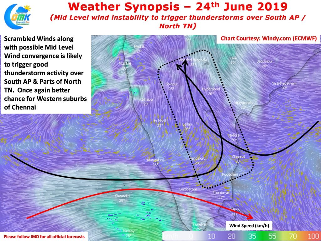
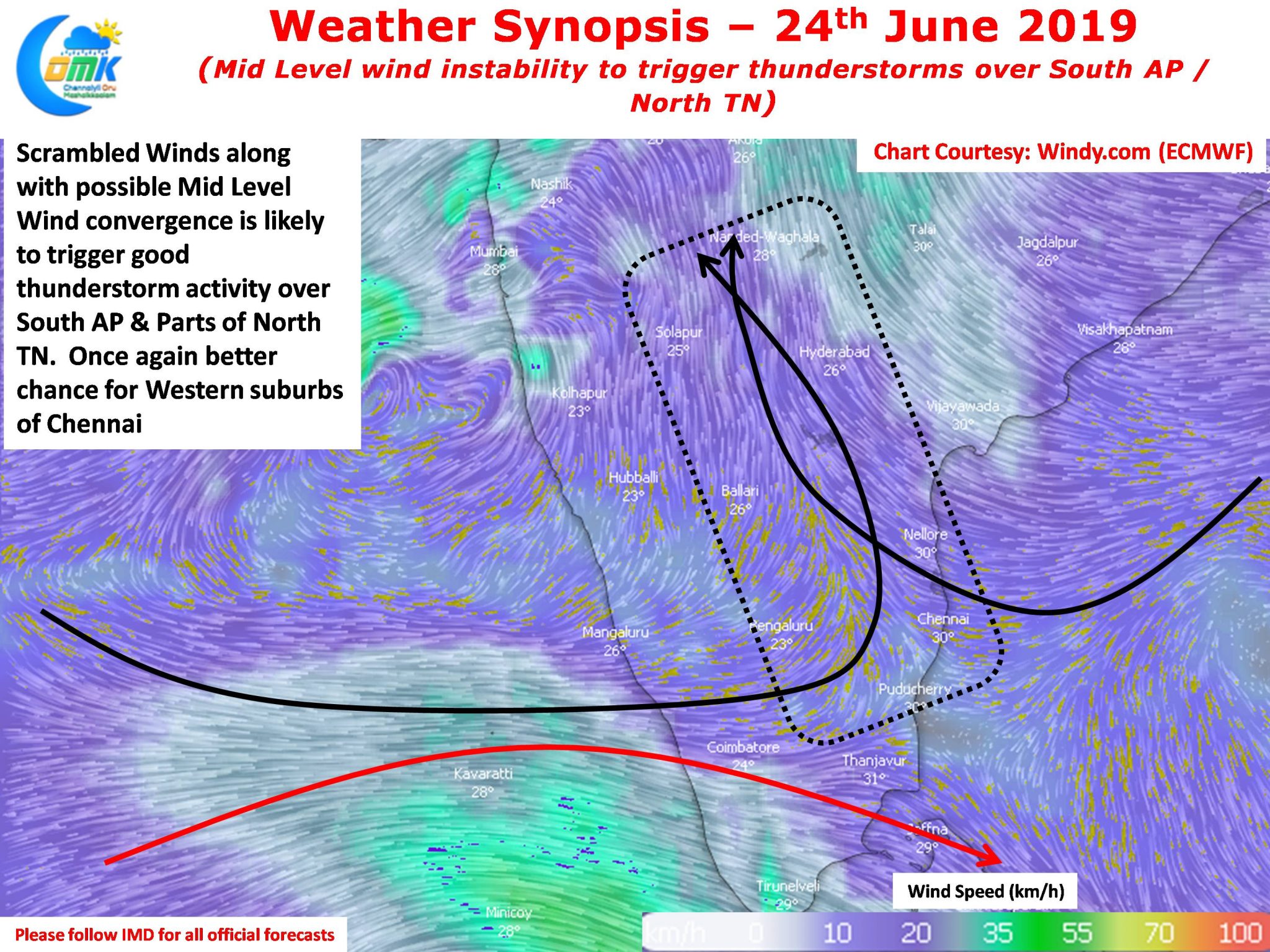
Today weather models indicate a Mid Level Scrambled wind pattern over parts of South AP & North TN that could provide the much needed atmospheric instability for thunderstorms to develop. Additionally a much more clearer skies compared to the past few days may provide necessary convective impetus creating a slightly stronger thunderstorm dynamics over these areas. As always the case the places to the West of Chennai may possibly enjoy the better spells compared to the city area, today represents one very good chance for the City areas to catch its first good spell of Southwest Monsoon thunderstorms.


