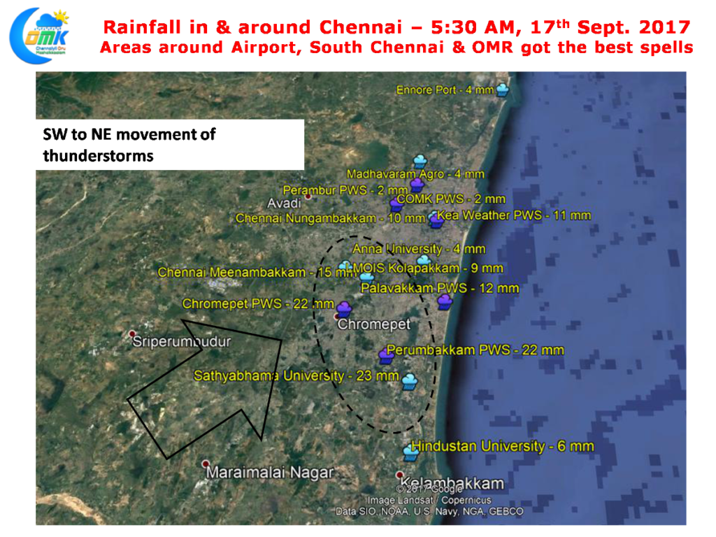
After a break of a week or so yesterday saw the return of rains to Chennai as many places in the city recorded light to moderate spells of rains late in the evening. The southern suburbs of the city along OMR and places around Chennai Airport possibly got the best spells as the storms moved from Southwest to Northeast. The western & northern suburbs missed out while the IMD observatory at Nungambakkam recorded 10 mm rains.
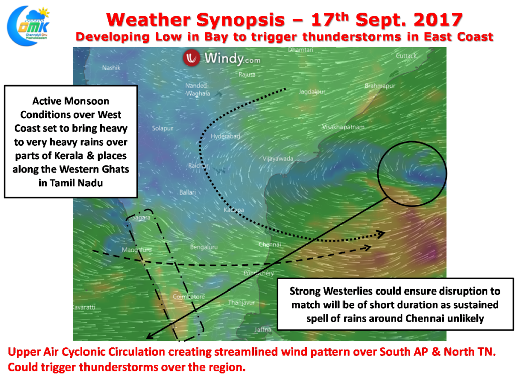
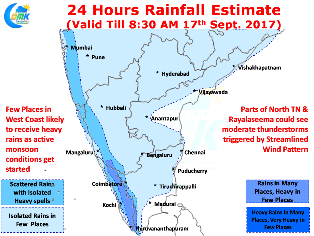
 Southwest Monsoon has started to flex its muscle over the West Coast heavy rains have been reported in many places across Kerala and a few places in Nilgiris also has reported good rains. Conditions are turning perfect for a very active monsoon spell over West coast as Bay starts to churn the next Monsoon Low around Central Bay off the coast of Andhra Pradesh. The Upper Air Cyclonic Circulation has already strengthened the Westerlies bringing a lot of kick to the Low Level Monsoon Jet over Indian Sub Continent.
 The UAC has not only improved the monsoon dynamics as expected but has played a constructive role in the development of thunderstorms over AP & Tamil Nadu yesterday. It is expected to play a similar role today as well with mid level winds streamlining around the region West of Chennai bringing the possibility of thunderstorms developing after day time radiation. Nevertheless with the Westerlies strengthening the thunderstorms are expected to move fairly fast across the coast making it short bursts of rains rather than sustained spells.
Yesterday’s moderate to heavy rains across the West Coast was possibly a curtain raiser to what is likely to be the best & defining spell of Monsoon 2017 for Kerala & Coastal Karnataka. This spell of rains is also going to play a crucial role in turning around the deficits in Nilgiris & Kanyakumari districts to end the season on a high.
Very high probability of thunderstorms around North Tamil Nadu, would it be strong enough to disrupt the match. Unlikely in our opinion.
Powered by WPeMatico


