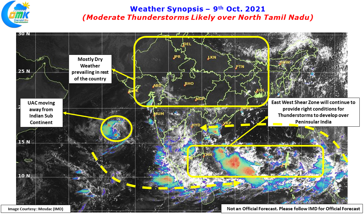
Thunderstorms continue to light up the skies over Tamil Nadu with yesterday also seeing fairly widespread thunderstorms with places around Trichy, Karur, Thanjavur etc seeing fairly intense thunderstorms & heavy spell of rains late in the evening. As a matter of fact Peninsular India is the only region now seeing daily rainfall activity as rest of the country slowly gets into post monsoon conditions. Southwest Monsoon withdrew from more parts of Gujarat, almost all of Rajasthan, completely J&K, Himachal Pradesh, Uttarakhand, Punjab, Haryana & NCR along with East UP.
While it is still early to talk of Northeast Monsoon onset yet but it certainly gets the butterflies to fly in the tummy for weather bloggers in anticipation of “Chennaiyil Oru Mazhaikkaalam”. Until then its time to enjoy thunderstorms as wind instabilities will continue to persist as a precursor to the seasonal change of winds from West to East. As we see scrambled winds keep happening most of the days due to multiple disturbances over Indian Sub Continent & the adjoining seas chance for thunderstorms will remain high on most days though the impact areas will keep changing based on prevailing wind pattern for the day.
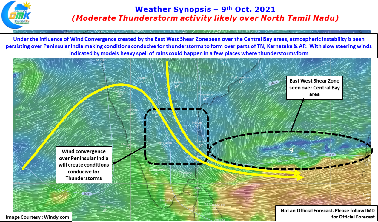
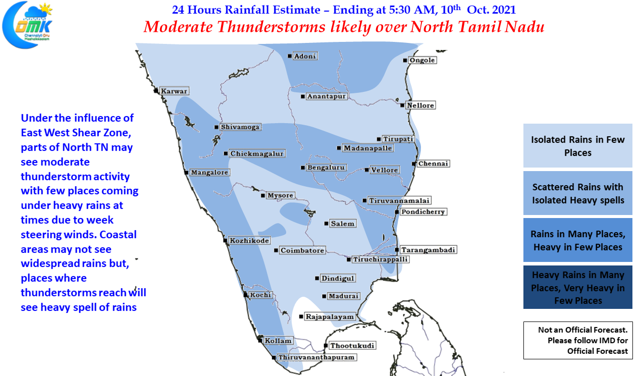
Today once again southern parts of Peninsular India will see fairly widespread thunderstorm activity on account of not only an East West Shear Zone that is seen over the Central Bay but also wind convergence triggered by this disturbance over parts of Peninsular India. The wind convergence will create the necessary atmospheric instability for thunderstorms to develop which will then feed on the support provided by the East West Shear Zone. North Tamil Nadu and adjoining areas of Andhra Pradesh & South Interior Karnataka may benefit from good conditions today on account of slightly more clearer skies in the region. Only downside though would be the poor steering winds which could dump heavy rains at a few places but may end up completely disappointing a few others, particularly over Coastal places, like Chennai


