Though Isolated thunderstorms has been continuing in Tamil Nadu for the past couple of days, the spatial spread has come down. Yesterday saw parts of Villupuram, Tiruvannamalai, Vellore districts record good rains in North Tamil Nadu. Down South Madurai, Pudukottai districts recorded moderate rains in a few places. The highlights of yesterday include Vrinchipuram in Vellore recorded 10 cms & Kallakurichi which recorded 8 cms.
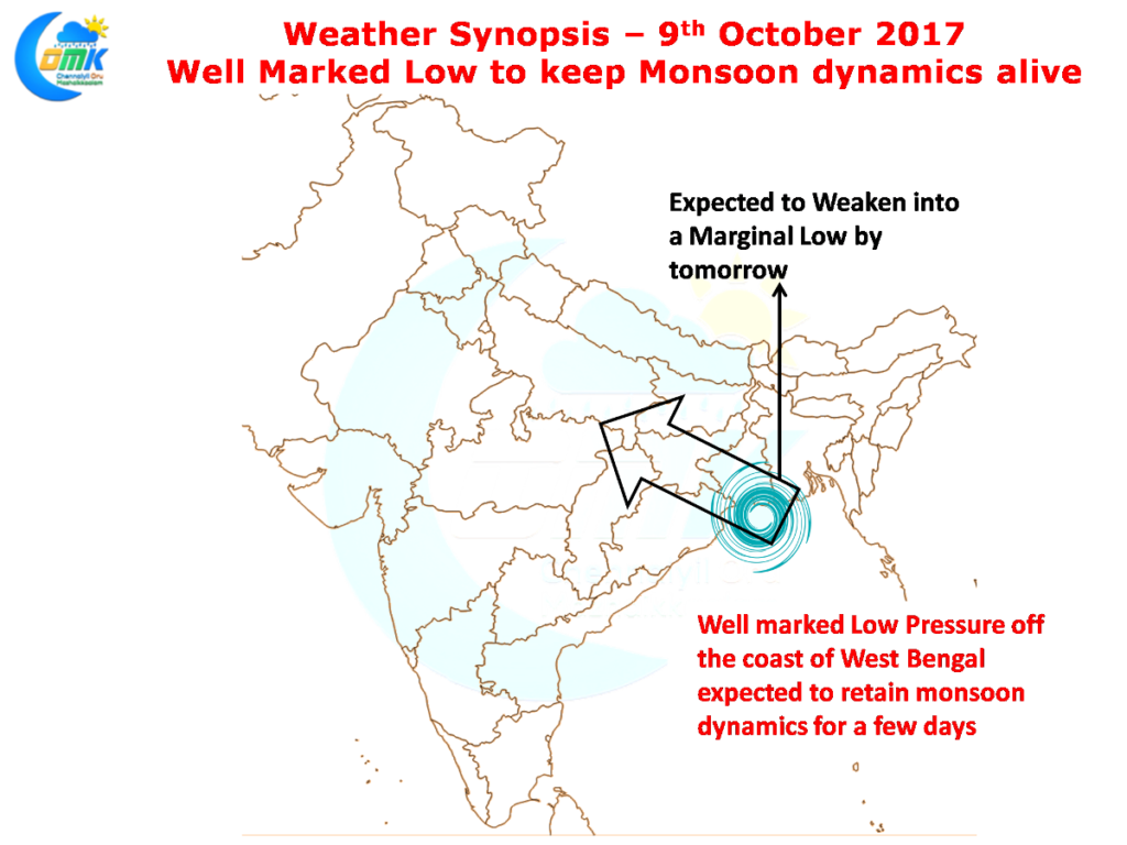
In the meanwhile up in the North Bay a well marked Low Pressure area persisting off the coast of West Bengal / Bangladesh is expected to keep the Southwest Monsoon dynamics going for a few more days. The influence of this monsoon low is expected to prevail possibly up to Wednesday / Thursday post which we will start to see the withdrawal process pick up once again.
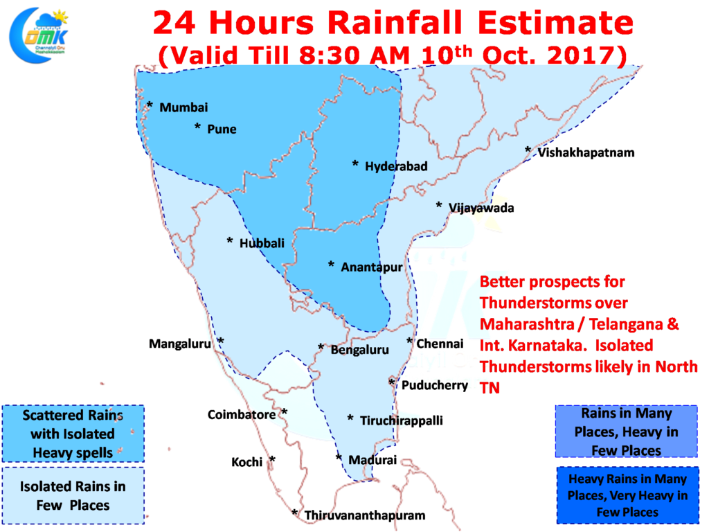
The multiple circulations over many parts of the Indian Sub Continent continues to make it conducive conditions for thunderstorms to thrive. With mid level Easterlies firmly in place Mumbai has been receiving thundershowers for the last couple of days a typical withdrawal phenomenon. This is expected to continue today as well with one or two places in Maharashtra / Telangana / Interior Karnataka seeing heavy spells of rains.
As far as Tamil Nadu goes we could possibly see some isolated thunderstorms develop around 50 – 100 kms from the coast similar to the areas that has been getting the rains for the past couple of days. One or two places could get heavy spells at times.
Powered by WPeMatico


