
As most parts of Interior Tamil Nadu continue to see regular thunderstorms coastal areas were left to enjoy the spillover thunderstorms. Places like Chennai over the last few days have seen only blink and miss storms while areas about 30 kms from the coast have enjoyed moderate to heavy rains at times. With an Upper Air Cyclonic Circulation in Bay the wind pattern has slightly become favorable for the coastal areas like Delta districts to enjoy a thunderstorm or two. 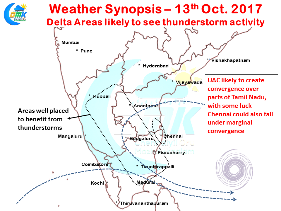
While the bulk of the rains are likely to happen over the interior places today as well, things are looking up for coastal areas as well. There appears to be a convergence zone developing all the way from North Karnataka to Delta districts as indicated by some models which could bring this region under possible influence of thunderstorms late in the evening. Some models indicate parts of West Interior Tamil Nadu could also benefit from these conditions.
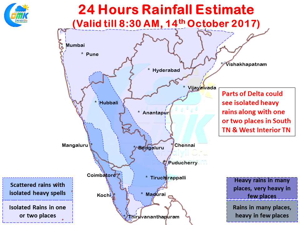
Coastal Tamil Nadu especially the stretch between Ramanathapuram and Pondicherry could see one or two places get moderate to heavy spells of rains as the UAC creates conducive conditions. Similarly parts of West Coast along Kerala & South Karnataka along with a few places in the Western Ghats could see isolated heavy rains due to the moisture drag created by the UAC.
Models indicate Chennai to come under marginal low level convergence zone later in the evening which makes our chance better than the last few days. With little bit of support we could possibly see one or two thunderstorms make its way towards the city. Keeping fingers crossed.