Yesterday saw North Tamil Nadu particularly around Chennai receive widespread rains. Poonamallee received 46 mm rains while the IMD observatory received 8 mm rains in Nungambakkam. The water storage situation for Chennai should see an improvement as the catchment areas in Chembarambakkam received 36 mm rains.
A Low pressure has evolved in Bay of Bengal in North Bay off West Bengal coast. Under the influence of this low Pressure heavy rains are expected over East India & Northeast India. This low is expected to become a Well Marked Low within the next 24 hours.
On the other side of the Peninsula a cyclone formation alert has been issued by JTWC for the evolving low in Arabian Sea. This disturbance could organize itself in the next couple of days to come. Under the influence of this system west coast will continue to get rains with a few places getting heavy rains in the next 24 – 48 hours.

As the Upper Air Circulation has moved slightly North in latitude the rain bands would also move up slightly with Coastal Karnataka enjoying spells of heavy rains. Thanks to the LWD over Interior Peninsula parts or South Karnataka and Rayalseema region could get heavy rains. Areas surrounding Tumkur in Karnataka and NW of Tirupati in Rayalseema region could get these spells of heavy rains.
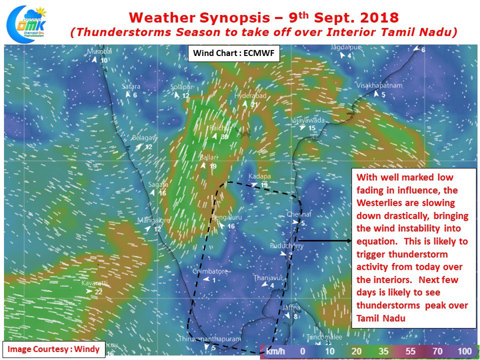
Tamil Nadu Weather Update: Parts of North TN received heavy spells of rains, particularly around Chennai region. Today could see slightly warmer day time temperature over most parts of Tamil Nadu as the Arabian Sea system has slightly climbed the latitude. The rains are also expected to reduce over most parts of TN except for the extreme west region around Sathyamangalam region. North TN could see isolated thunderstorms with the coastal stretch around Chidambaram & Cuddalore in line to receive one or two spells of rains.
Chennai Weather Update: Warm day on the cards with temperature expected to be closer to 35°C. One or two areas could receive spells of rains later in the evening but chances for widespread rains look less today.


