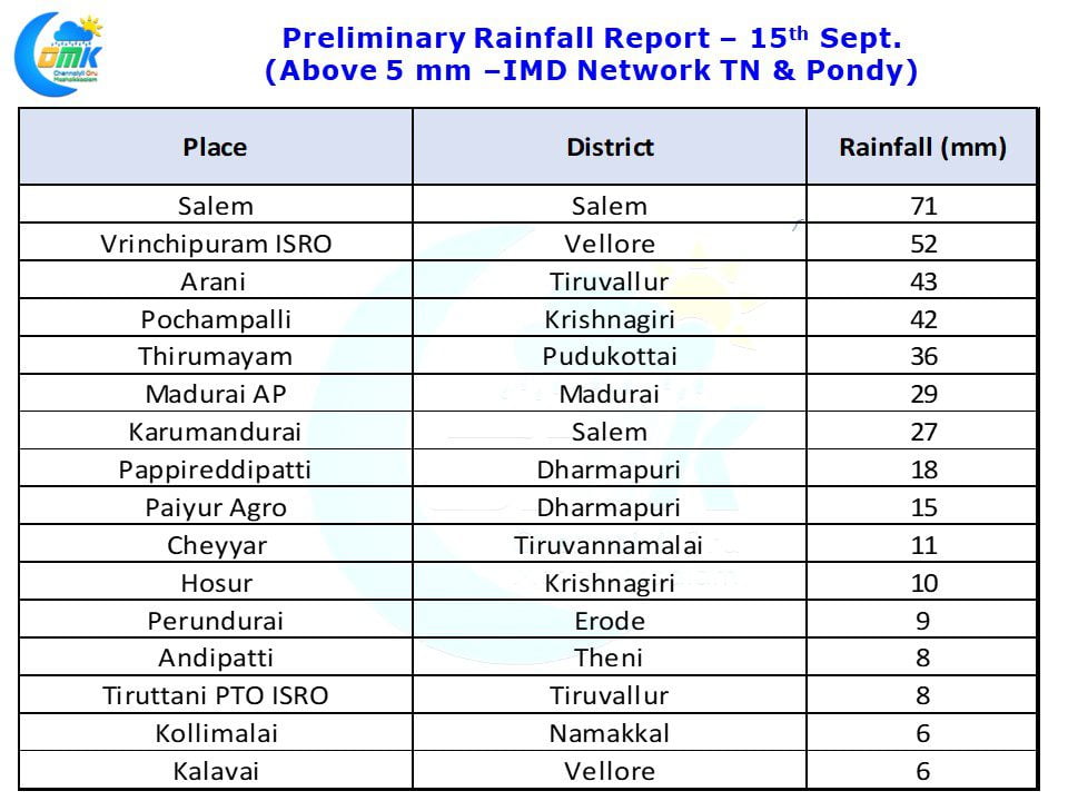
Yesterday the rains over Interior & South Tamil Nadu did not materialize as expected due to the early influence of Dry Air from Central India. Sankarankoil in Tirunelveli district received 28 mm rains till today morning. Ooty received 11 mm rains. These two were the only notable places that received rains last night in the AWS network of IMD.
The Line of Wind Discontinuity that aided the rains for the last couple of days over the interior places is becoming less significant due to which the expected rains over most parts of Peninsular India could come down from today. At almost all levels the dry air incursion from Central India is visible. This would mean today could see only isolated rains over Peninsular India with a few places in Kerala & South Karnataka along the West Coast getting spells of heavy rains.
Tamil Nadu Weather Update: Except for extreme South Tamil Nadu most parts of the state could see dry weather. Parts of Kanyakumari and the areas adjoining the Western Ghats in Theni, Tirunelveli could see some rains. The coastal stretch between Chennai and Nagapattinam could see higher than normal day time temperature with temperatures expected to cross 35° C at many places.
Chennai Weather Update: Warm day on the cards with temperature expected to cross 35° C add the high humidity expected it would be a fairly uncomfortable day. The next few days are going to be dry and possibly uncomfortable as well, not the type of weather one would associate with the Northeast Monsoon onset phase.


