
Intense thunderstorms lashed many parts of Chennai as it got the heaviest spell of rains in more than 6 months, to be precise since the day of Cyclone Vardah landfall, with many places seeing intense cloudburst type conditions. While Meenambakkam already recorded a day of 5 cms on 6th July the city observatory continued to miss the heaviest thunderstorms so far this season. As though wanting to make up the entire deficit in an hour nearly 6 cms of rains fell in less than an hour over Nungambakkam and surrounding areas.

The good thing about yesterday’s rains were some high numbers scored even in the lake areas like Chembarambakkam, Puzhal etc. While the areas to the South of Tambaram and OMR mostly missed the heaviest spells as the storms which started from Kanchipuram district moved in a more East / Northeasterly direction towards Chennai. The COMK weather station in Anna Nagar recorded 36 mm once again the heaviest since Cyclone Vardah days.
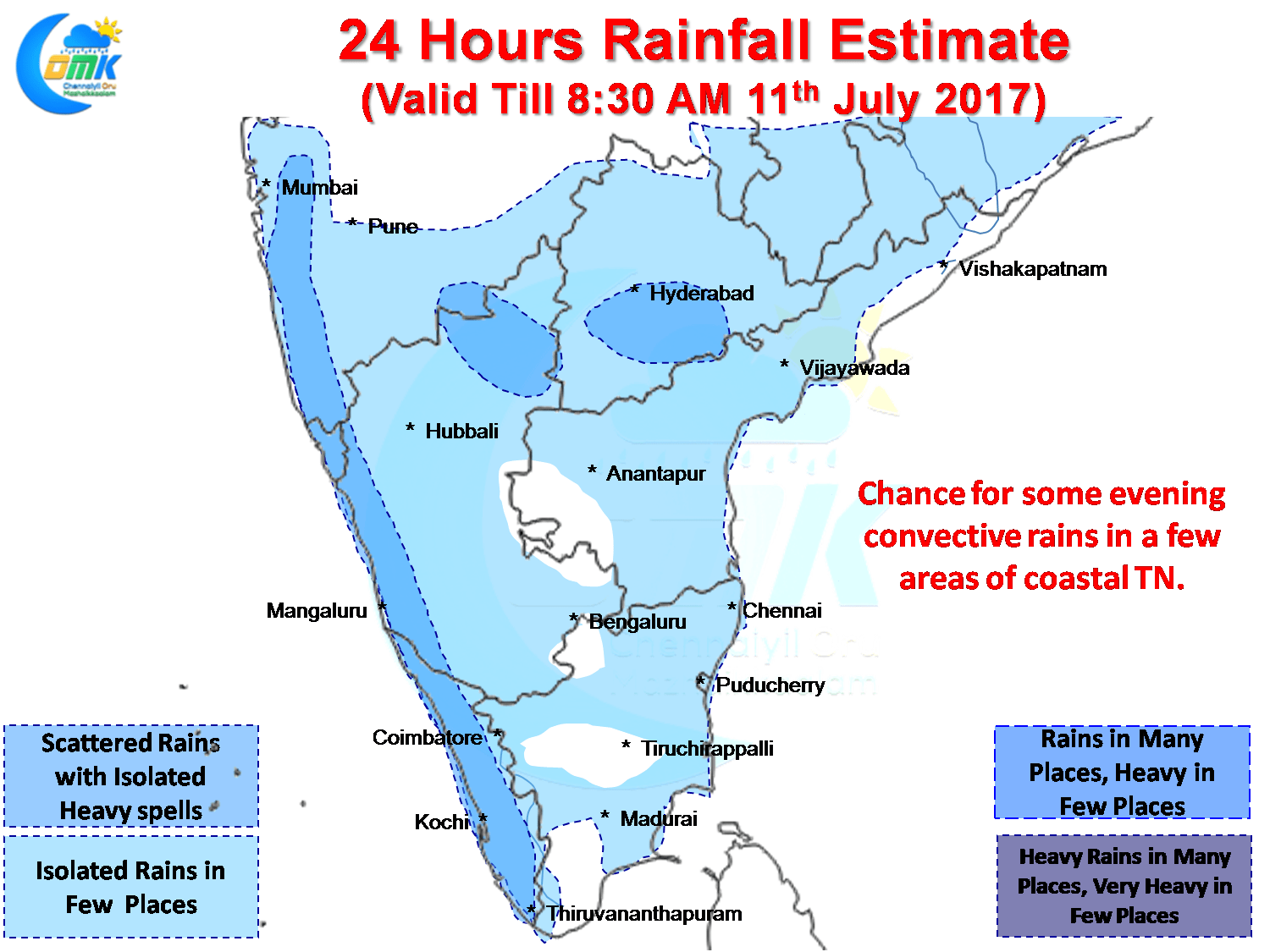
As we always emphasize the day after heavy rains is always a tricky day to make rain estimates as on ground conditions could be completely different to what models estimate particularly when the remnant thunderstorms have been staying till the early morning.
But as things stand the trend of convective thunderstorms over coastal Tamil Nadu is likely to continue with another day of storms expected today as well. Models indicate the interior areas around the Rayalaseema region to get some rains which will possibly move to the coast later in the evening. Chance exists for Chennai to see another day of evening thunderstorms though a repeat of yesterday is less likely.
Powered by WPeMatico