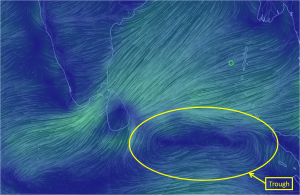
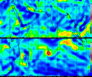
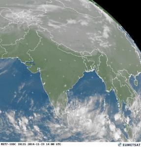
There is a trough of low pressure between Sri Lanka and Sumatra (marked in the map) that is now under monitoring by IMD for further development.
Showing a lot of vorticity it is slowly picking up in terms of Convergence and Divergence.
This is creating a lot convection in the South Bay thereby providing some good rainfall opportunities for South & Central Tamil Nadu.
The next couple of days could see this disturbance develop and move in a Westerly direction. Whether it would move in a dead West direction or move in a WNW direction would decide possible chances of rains for North Coastal Tamil Nadu. Lets hope there is some WNW direction towards Sri Lanka to give us some rains. In the event it moves in a West direction passing Sri Lanka to its South it could develop into a feeble circulation in the Arabian Sea though with very poor development conditions there it may not survive for long.


