The last few days in a way has been a reflection of how NEM 2024 has behaved. A Low that started its journey many days back finally found its way to TN coast. After moving up and then down over the last couple of days it has brought fairly widespread rains to North Coastal TN….
Author: Chennaiyil Oru Mazhaikkaalam
North TN gets ready for Monsoon withdrawal
As we get to the last days of the year anticipation for change starts becoming visible. The common people look forward to a fresh start with the new year. The weather bloggers though start showing signs of anxiety. Withdrawal symptoms as withdrawal of Northeast Monsoon season starts becoming imminent. More often than not it is…
Central Tamil Nadu likely to see thunderstorm activity
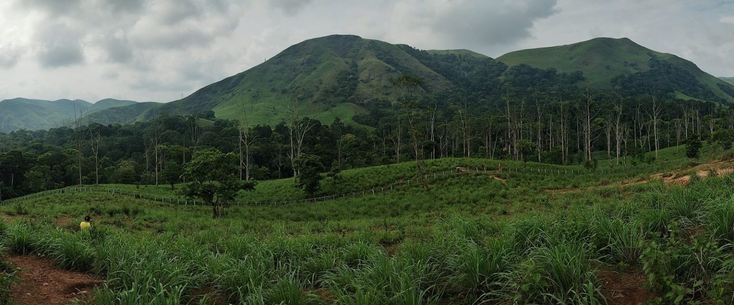
Places in Central Tamil Nadu, particularly to the East of Palghat Gap, do not see much rains during Southwest Monsoon. Strong westerly winds create a funnel effect at Palghat gap reducing convection over places further east. Similarly during Northeast Monsoon period they depend on favourable transit of disturbances for sustained rains. About 125 kms separate…
Struggling LPA effectively ends heavy rainfall for Coastal TN
To err on the side of the caution is always the guiding principle for disaster communicators. The cone of uncertainty in cyclone forecasts is a classic example of probability in weather. A small change in dynamics could effectively change path of a cyclone. This could catch out people who may be unprepared if only a…
North Coastal TN may see a 24 hours heavy rainfall event
It is always a tough call when to alert and how much to alert. During Cyclone Fengal as the models aligned tighter on a possible stall it became essential to raise the alert about the risks. The experience of a complex event like Cyclone Fengal is always in the back of the mind during subsequent…