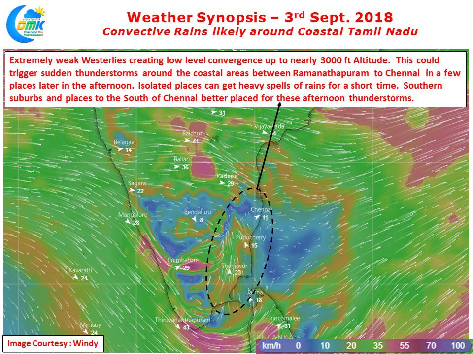
Typically convective rains for Coastal Tamil Nadu picks up pace when the Westerlies weaken during subdued monsoon phase. The role of sea breeze in this development of convective rains can never be ignored. More often than not the role of sea breeze can be identified in any thunderstorm activity that is formed in places like…
Author: Chennaiyil Oru Mazhaikkaalam
Subdued Monsoon to continue over West Coast
Southwest Monsoon has been mostly subdued for the past couple of weeks over West Coast except for a spell or two of moderate rains in the ghat areas of Kerala & Karnataka. It is an irony the accumulated rainfall recorded at the Colaba station of IMD in Mumbai is 183.8 mm for the past 30…
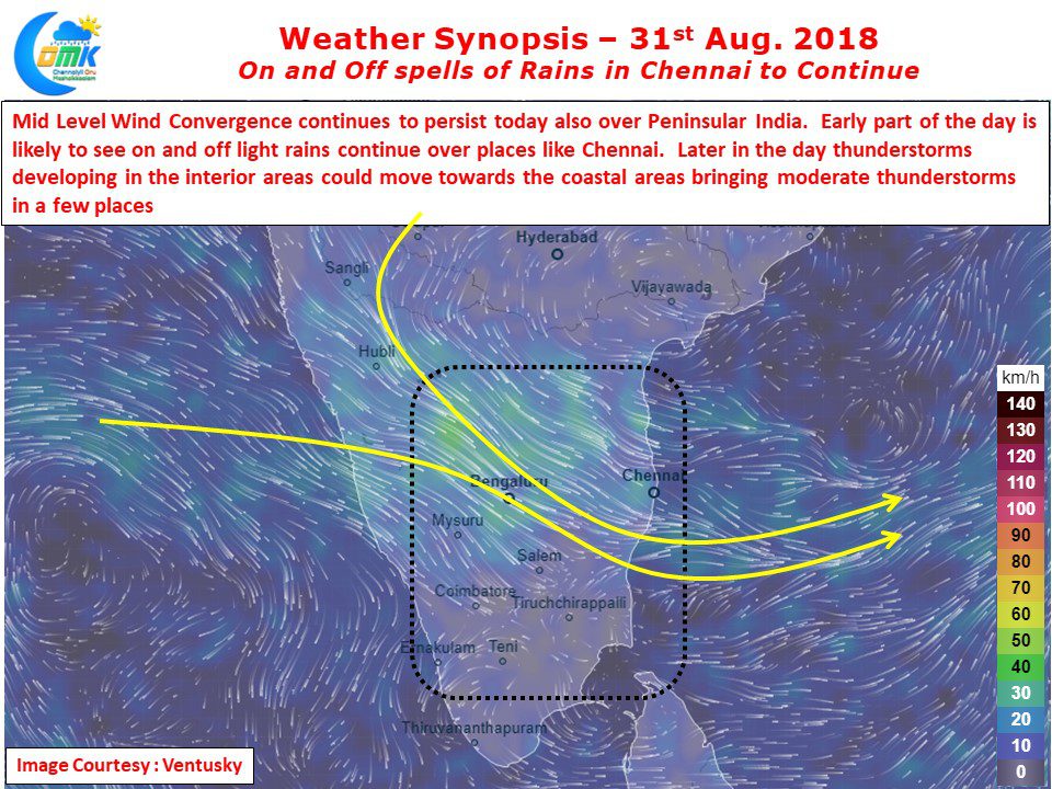
On and Off spells of Rains in Chennai to Continue
Last Night saw fairly widespread rains in Chennai with few ares getting moderate to heavy spells of rains during the early hours. As mentioned in our post yesterday it was one active day of Veppa Salanam thunderstorms in Tamil Nadu with bulk of the rains happening in Cuddalore / Villupuram districts. While the IMD observatory at…
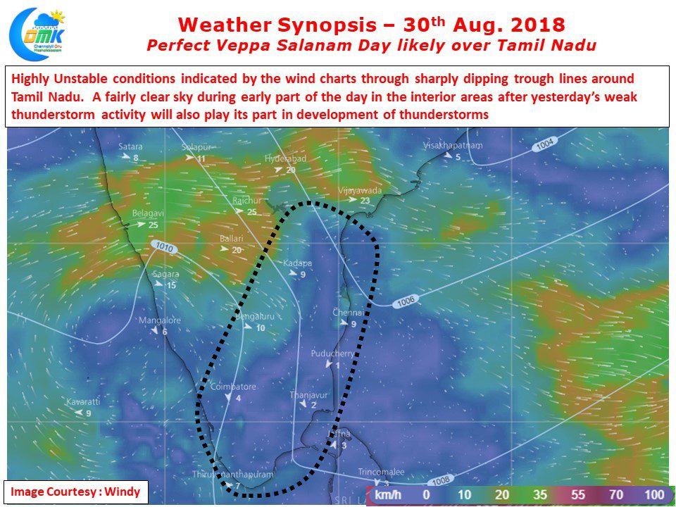
Active Veppa Salanam day likely over Tamil Nadu
Yesterday was expected to be a day of good Veppa Salanam thunderstorms over Tamil Nadu. Some models indicated strong possibility of wind instability induced thunderstorm activity. Contrary to what COMK estimated this did not translate into reality bringing only isolated rains in a few places with only parts of Tambaram getting some late night rains….
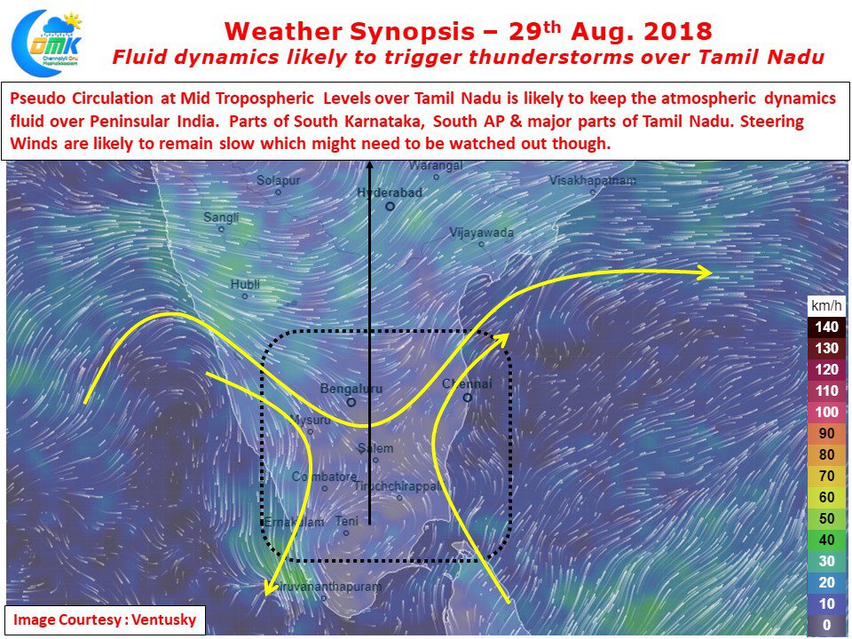
Fluid Dynamics to bring Thunderstorms over Tamil Nadu
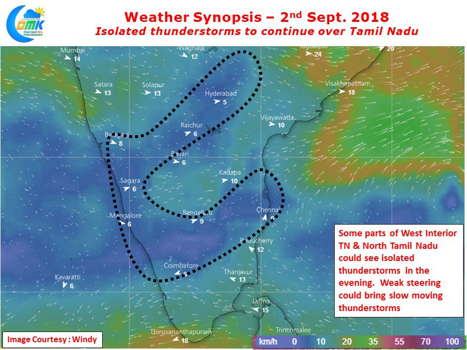
The last couple of days have seen an uptick of thunderstorms over Tamil Nadu. Yesterday saw parts of Salem, Vellore, Tiruvallur, Kanchipuram districts get moderate rains in the evening. While Chennai and suburbs did not get major spells the IMD Observatory at Chennai Airport recorded 2 mm of rains. Parts of Rayalaseema region recorded moderate…


