After a very active Sunday when many parts of Tamil Nadu received moderate to heavy rains through some classic Pre Monsoon thunderstorms yesterday was a fairly quiet day as models had indicated with few places along the Western Ghats getting some isolated spells of rains but most of the state saw dry dull conditions prevail.
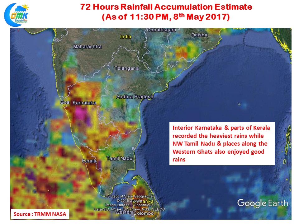
The precipitation accumulation charts show how Karnataka & Kerala have been seeing a fairly good pre monsoon thunderstorms season. These rains have been much needed after a bad couple of monsoons in those areas. While Tamil Nadu has been witnessing isolated thunderstorms and intense in a few instances overall the spatial spread continues to remain along the Western ghats areas and the Interior areas of West & North Tamil Nadu with coastal areas missing out mostly.
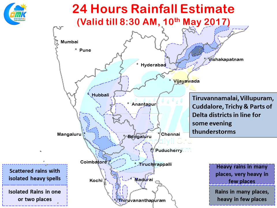
This could be set for a change as today we could possibly see thunderstorms in Tamil Nadu much closer to the coast compared to all these days with possibly delta areas and North Coastal Areas also getting some decent spells of rains along with interior areas. Compared to Sunday the wind induced instability though persisting in the form of a trough running from Telengana all the way up to South TN it is less pronounced today which could possibly influence the nature of thunderstorms. There exists an upper air cyclonic circulation off the coast of South AP which could influence things as well.
Nevertheless while thunderstorms are due for most parts of TN particularly the districts of Villupuram, Tiruvannamalai, Cuddalore, Ariyalur, Perambalur & Trichy could see the better spells due to favorable wind patterns. Along with this delta areas and Pondicherry also could benefit from the showers. It could be another day of touch and go for Chennai with possibly some passing showers likely in the western suburbs close to the city. Tomorrow represents the best chance of some rains for Chennai to break the long dry spell that has gripped the city.
Powered by WPeMatico


