As many would know the traditional start of Southwest Monsoon Withdrawal from the Northwestern Parts of India for many years used to be 1st of September. Over the last decade or so the withdrawal has mostly started around Mid of September picking pace only towards end Sept or early October. Consequently after detailed assimilation of Onset & Withdrawal dates over the past couple of decades IMD revised the Onset & Withdrawal dates across the Indian Sub Continent starting this year.

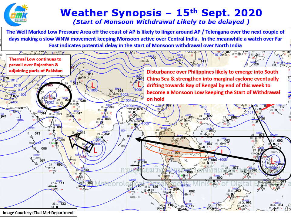
In the revised scheme of things the normal start of Monsoon Withdrawal was expected to kick off from extreme Western Parts of Rajasthan as 15th September. As things stand there are no signs yet for Monsoon to start withdrawing yet from Rajasthan due to couple of disturbances that lie separated by a few thousand kms. The Well Marked Low currently lying off AP Coast & expected to make a slow WNW movement towards Telangana is likely to keep the rain board ticking over Central India until end of the week.

By which time another Tropical Disturbance, currently lying over Philippines and making progress towards South China Sea will push into Bay of Bengal eventually travelling along the trough over Indo China Peninsula. Likely to become a Monsoon Low once it reaches Indian Sub Continent this may keep the Monsoon Dynamics alive over North India until 3rd week of September. Once the expected Low completes its cycle we can see withdrawal of Monsoon Kick Start.
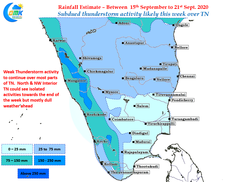
On the regular front the next few days we might see slightly subdued conditions for thunderstorms over Tamil Nadu with only the NW Interior & North TN areas likely to see moderate thunderstorm activity.


