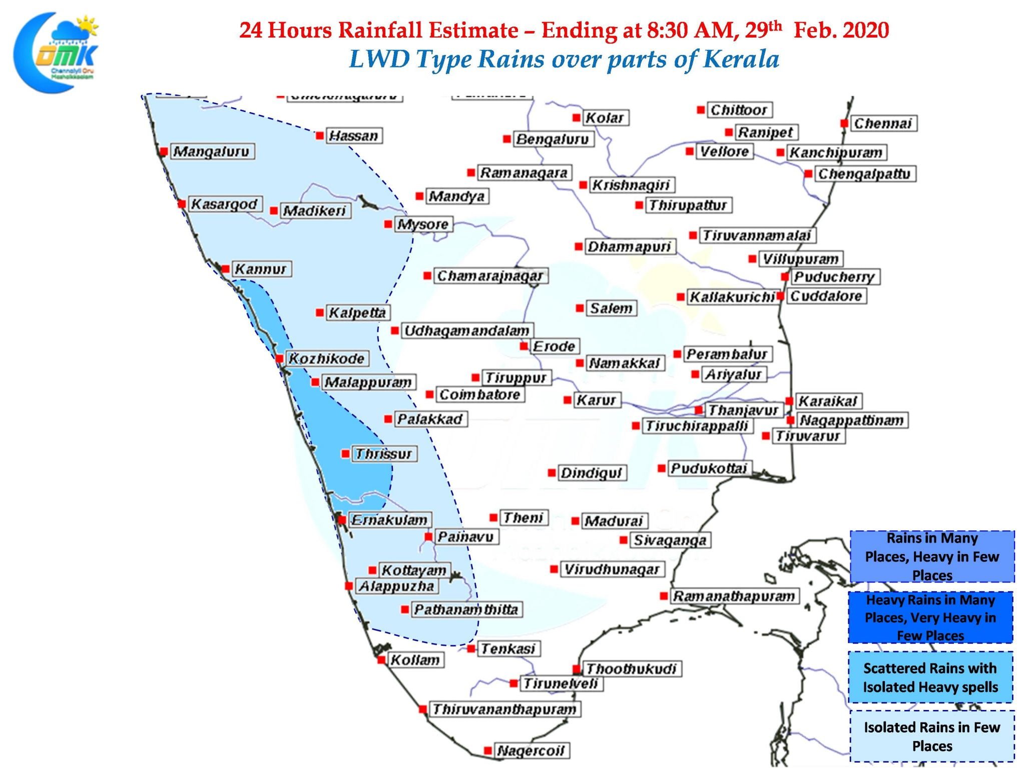
As February gives way to March even though things don’t change much except for increasing heat over Chennai as weather bloggers we can slowly look forward to tracking thunderstorms over the West Coast of Peninsular India. These thunderstorms are a precursor to the seasonal wind change from East to West finally heralding the Southwest Monsoon a couple of months down the line.

While Pre Monsoon thunderstorms take a very menacing “KalBaishaki” name over large parts of East & Northeast India over the South India its called in a much mellowed form “Mango Showers” as they help in the maturing of Mangoes. Triggered by the changing wind regime the early days of these Mango showers are brought in by lower level wind confluence similar to the wind charts of today.

Gradually one can start seeing upper level winds also show signs of changing leading to a clear “Line of Wind Discontinuity” creating a zone of thunderstorms along it. Weather models indicate parts of Kerala & South interior Karnataka is likely to see light to moderate rains at a few places triggered by the thunderstorms around evening just as the sun gets ready to set down.


