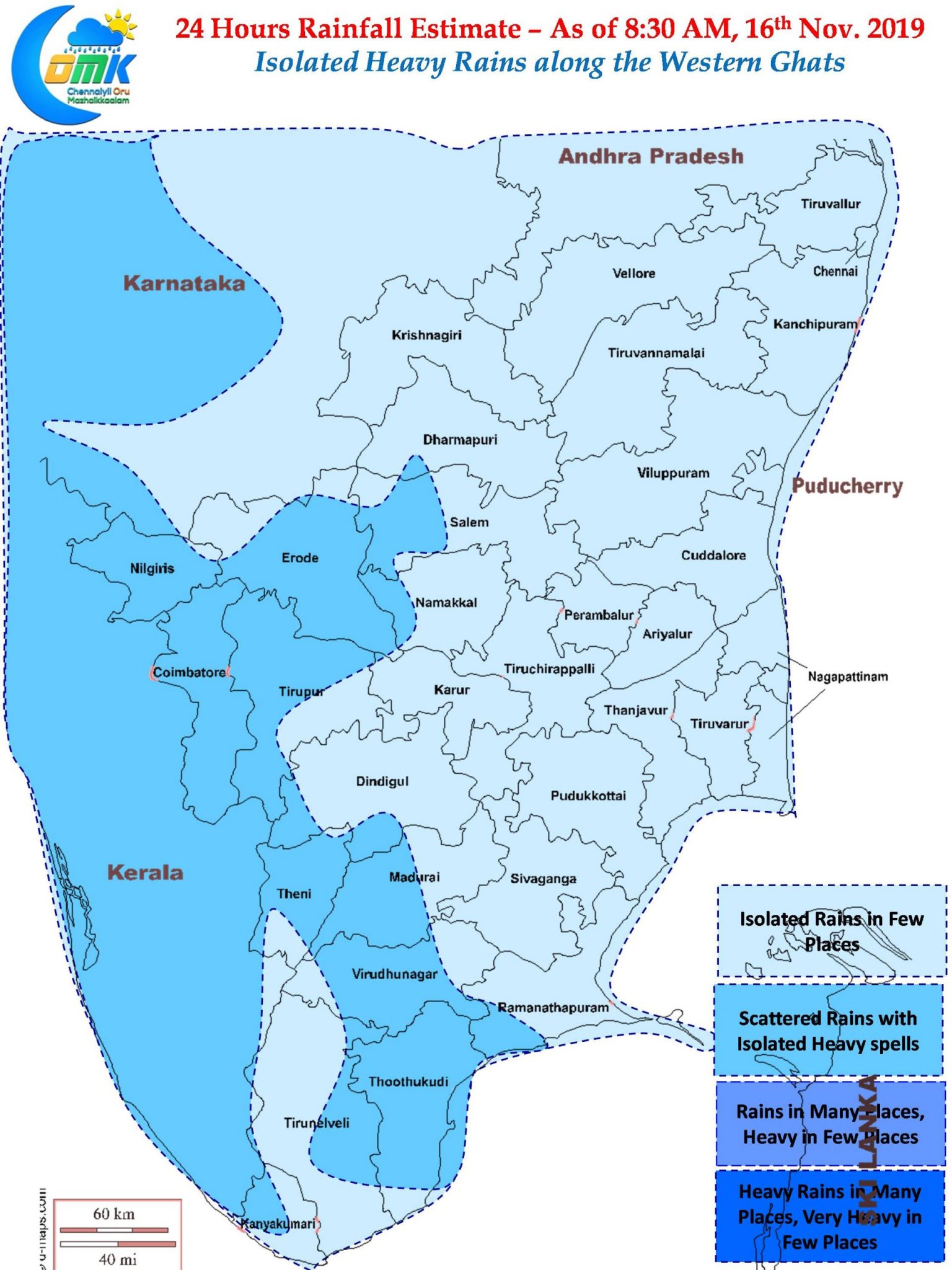
Northeast Monsoon continues to keep weather enthusiasts and common people at their wits end. In a case of so near yet so far while Models estimated moderate rains for both North TN and adjoining parts of South Andhra Pradesh almost all the rain bands went to the north of Chennai leaving the city and its suburbs to feed on scraps bringing light to moderate rains to most parts of Chennai.

Satellite image tells the story pretty much thread bare. The convection parked to the North and Northeast of Chennai. While some of the stratiform clouds which are moving in a ENE to WSW direction is likely to give some light rains to parts of North TN during the morning hours bulk of the rain bands have already crossed coast over South AP bringing heavy rains to parts of Chitoor and Nellore district. Parts of South TN and West Interior TN recorded good rains even though coastal areas missed out.

Similarly due to moisture incursion once again isolated places along the Western Ghats could get good rains today as well. In particular one or two places in South TN could see heavy spells of rains today. Kerala once again may benefit from a benovolent NEM2019 for them. Coastal areas of Tamil Nadu may see light to moderate rains in many places but overall the convection thats currently to the NW of Andaman is the one to watch out for which could possibly help Coastal TN with some southward tilt compared to model estimates.


