சென்னையில் ஒரு மழைக்காலம் வானிலை வலைப்பதிவின் சார்பாக அனைவருக்கும் இனிய தீபாவளி நல்வாழ்துக்கள். As though wanting the people to enjoy the Diwali festivities most parts of Tamil Nadu has seen a fairly dry start to Diwali morning. Few parts of Delta districts have seen light rains as Northeast Monsoon tries to get the revival going.

For long Arabian Sea has been considered the grave yard of Global Weather Models. Once again Cyclone Kyarr has proven weather models almost always tends to underestimate the potential strengths of Tropical Cyclones. Going through a Rapid Intensification it has reached Extremely Severe Cyclonic Storm status sporting a wonderful eye after showing signs of Annular shape.

South Bay in the meanwhile has seen a broad area of disturbance persist along the Equatorial Waters between Sri Lanka & Sumatra. This broad area of disturbance now sports two circulations, one off Sri Lanka & the other near Banda Aceh, with models developing the one near Sri Lanka. Weather models expect this circulation to move across south of Sri Lanka into Arabian Sea and develop into an organized disturbance. It may make sense to wait for the vortex to actually develop before deciding on possible impacts / influences.

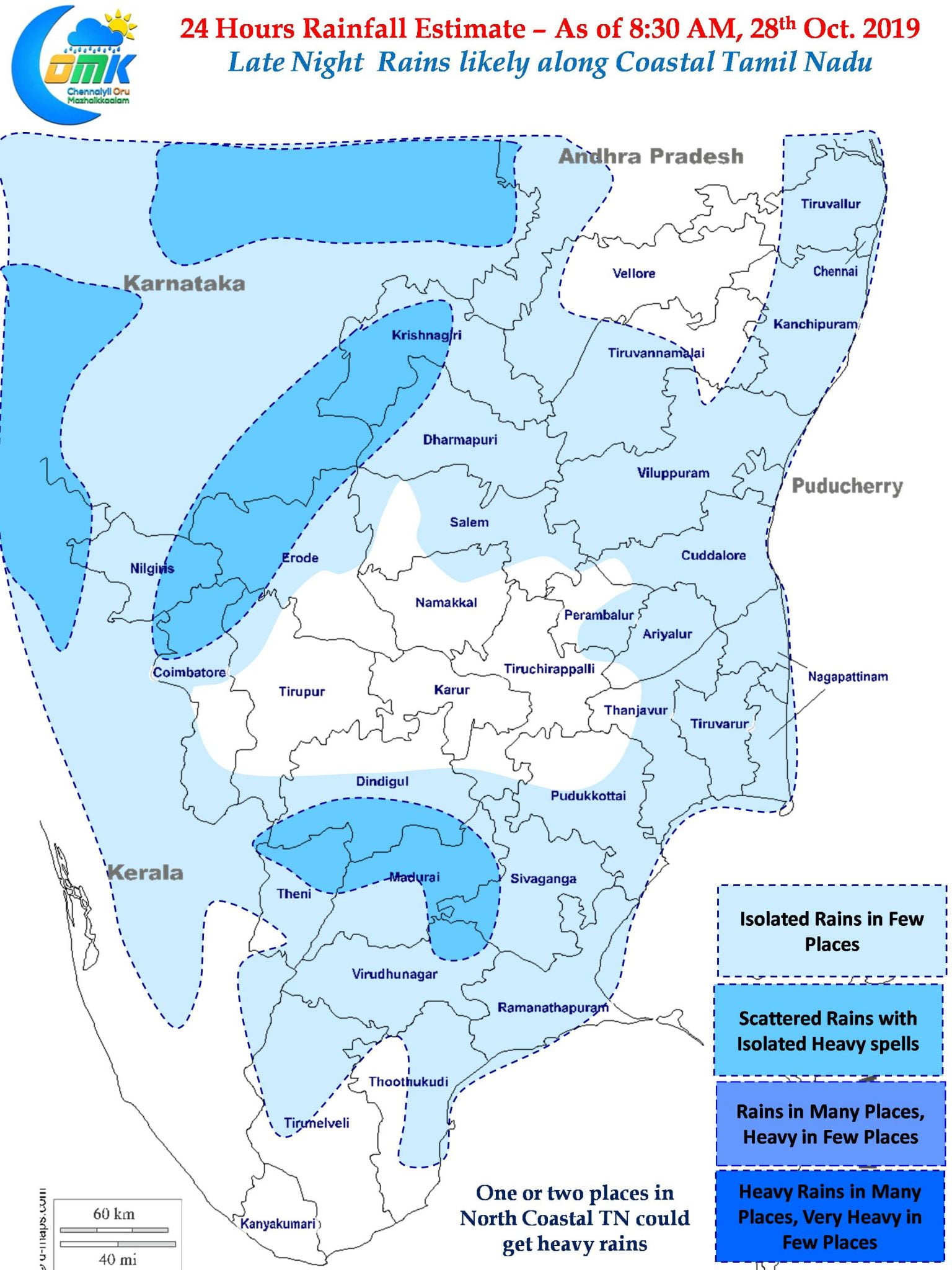
While we continue to look at whats happening over South Bay it appears the early part of Diwali morning may be relatively dry over most parts of Tamil Nadu as Easterlies have not yet completely streamlined. The fluid developments over South Bay possibly could be influencing the delayed return of Easterlies compared to Model estimates. While interior areas of Peninsular India could see rains later in the afternoon / evening Coastal areas may see the return of light to moderate rains later toni ght.


