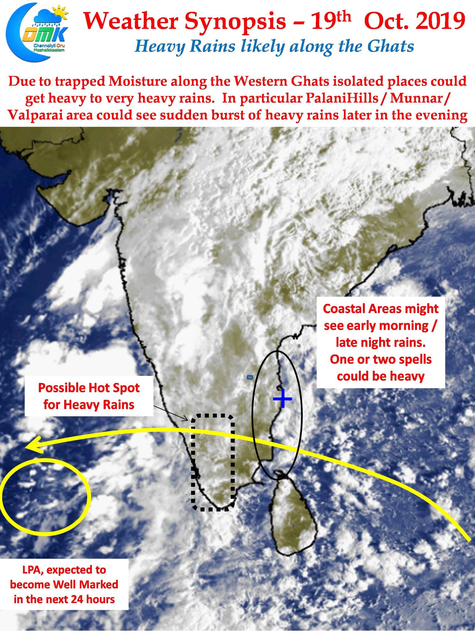
In what is the first disturbance since the onset of Northeast Monsoon season a Low Pressure Area has formed over the Arabian Sea. It is expected to deepen into a Well Marked Low over the next 24 hours or so. In the meanwhile rains have continued over many parts of Tamil Nadu with West Interior TN around Coimbatore recording good rains last night.

Satellite images show scattered rain bands in Bay of Bengal under the influence of the Easterlies. This is likely to give light to moderate rains over the coastal areas during the Morning / late night hours. Some places could get heavy spells at times due to the moisture drag created by the LPA in Arabian Sea.

The heavier spells of rains though are likely to happen in South Tamil Nadu with places along the Western Ghats likely to witness heavy rains at many places with one or two places seeing very heavy spell of rains too later in the evening. Weather models indicate places around Palani Hills / Valparai / Munnar region could see heavy to very heavy rains triggered by trapped moisture dragged by the Arabian Sea LPA.
As far as Chennai goes intermittent spells of rains may happen during the night & early morning hours while the day could see alternating conditions of partly cloudy skies & bring sunshine


