The last few days have seen most of Tamil Nadu see warmer than normal temperatures due to the prevailing Dry Easterlies and an overall pattern of clear skies during the early part of the day. Since the onset of Southwest Monsoon the seasonal Westerlies along with the regular moisture incursion had meant temperatures were kept under check. Additionally the land breeze meant humidity levels were lower making it more comfortable.

With the Westerlies weakening & the Pseudo Easterlies sneaking it the moisture levels have come down leading to clearer skies. To make things worse the humidity levels have also increased making it very uncomfortable for most parts of the day. Except for the coasts and places in the Ghats almost all of Tamil Nadu has been seeing day time maximum temperatures a degree or two higher than normal for this time of the year.

Weather models indicate things are likely to continue in a similar manner this week with appreciable temperature variance over the interior districts of Coimbatore, Erode, Salem, Karur etc. Once a more streamlined Easterlies arrive with an increase in moisture things could cool down. This could happen around middle of this month when models indicate arrival of the first batch of Easterlies across Bay.

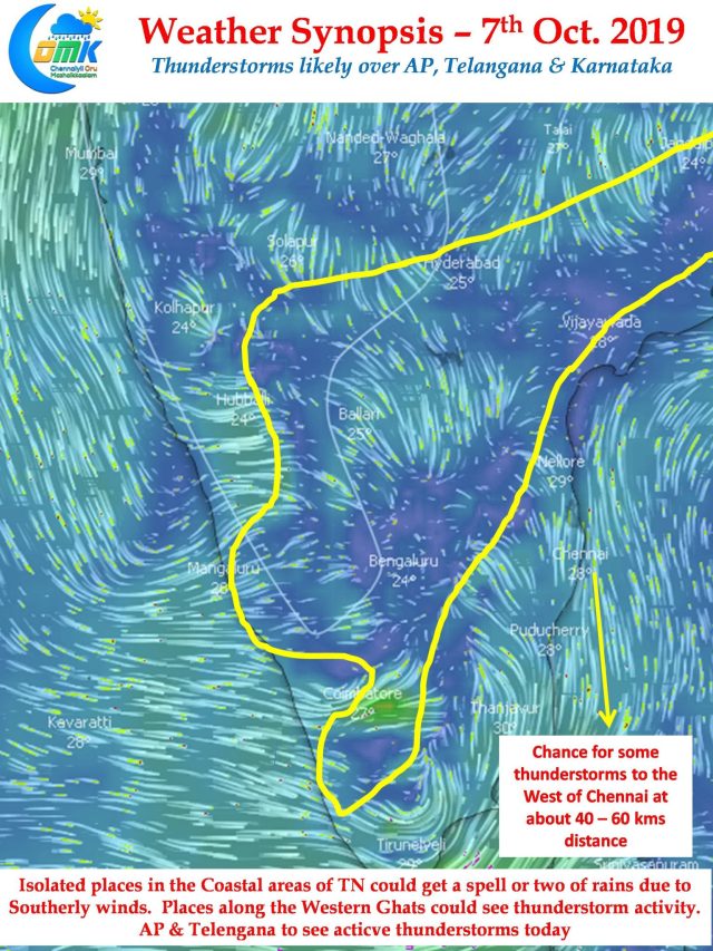
On the thunderstorm front, parts of Telangana, Karnataka, AP & Kerala are likely to see moderate thunderstorm activity. Places along the ghats in Tamil Nadu could see thunderstorms in a few places. There is a possibility of some thunderstorm action about 40 – 60 kms to the Northwest of Chennai but city area is unlikely to see any major rains though.


