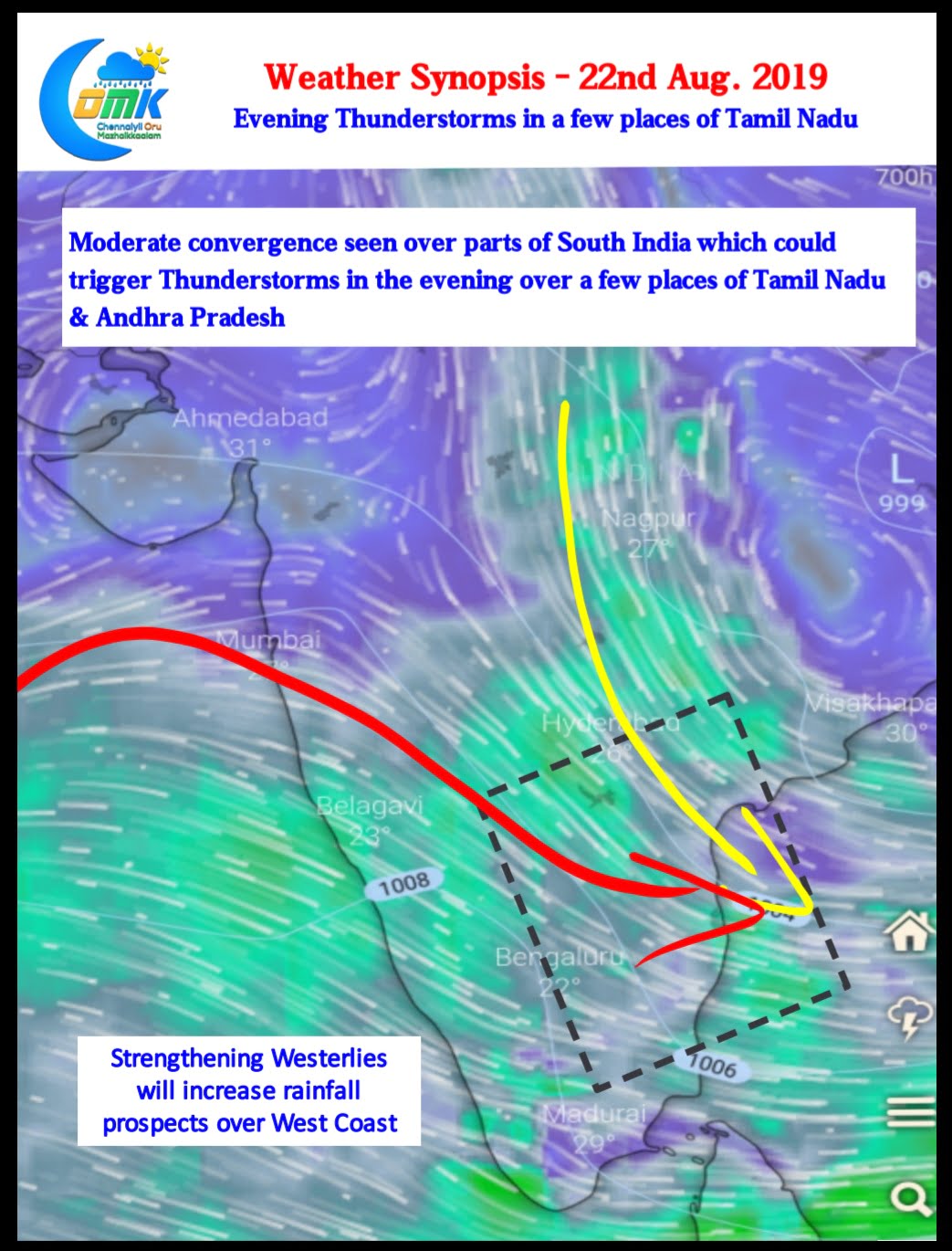
The Thunderstorm season has been chugging along like a groovy train for the past few days over Tamil Nadu. Yesterday also saw heavy Thunderstorm activity over pockets of Delta and Cuddalore districts.

Nagapattinam, Cuddalore, Thanjavur, Perambalur, Ariyalur & parts of Trichy & Villupuram dts along with Pondicherry & Karaikal recorded good rains from late evening Thunderstorms.

Today weather models indicate a weaker lower level convergence on account of strengthening Westerlies. The uptick in Westerlies is likely to increase rainfall prospects over West Coast and the Western Ghats.

The wind convergence at about 3 kms ASL altitude is seen persisting over Peninsular India. This is likely to bring moderate Thunderstorm activity over parts of South India. It appears parts of North TN may benefit from this late evening convergence though it remains to be seen if the absence of lower level convergence in the form of sea breeze may spoil prospects of thunderstorms.


