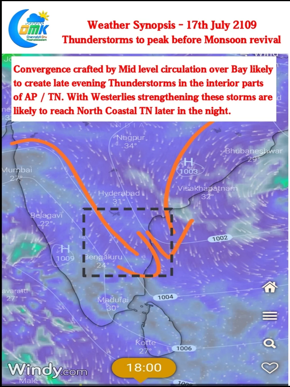
The last few days have seen the Monsoon trough staying close to the foothills of Himalayas thereby creating break in Monsoon conditions. Simultaneously thunderstorm activity increased over interior areas and places like Chennai benefited from the West to East moving storms.
Now things are rolling into place for Monsoon to revive in what is likely to be the most defining spell of Southwest Monsoon 2019. Next couple of weeks could be the peak monsoon spell for Cauvery Basin which is reeling under deficit conditions so far.

Equatorial Rossby, more often seen leading the arrival of MJO, influence is seen over Indian Ocean. This will play a critical role in strengthening the Cross Equatorial Westerlies a key component in monsoon revival. With the arrival of MJO likely in a day or two the Monsoon current will be taken in a Northward Propogation helping core Monsoon region.

While rains are likely to pick up over West Coast from today the wind instabilities continue to prevail under the influence of a Mid level circulation in Bay. A convergence of winds along with clearer skies in the interior areas is likely to trigger thunderstorms later in the evening around North Interior TN, Karnataka & South AP. With Westerlies strengthening and a general Northwesterly winds these storms could reach North Coastal TN later in the night.


