As indicated by most weather models the deep depression over Central Arabian Sea has intensified into Cyclone Vayu. In a blessing in disguise as this system climbs up in latitude it will gradually drag the monsoon onset as well over the West Coast. From yesterday the Northern parts of Kerala has started receiving good rains which will spill over into Coastal Karnataka as well though things will slightly slow down at the extreme Southern parts of Peninsular India.

Currently lying about 350 kms to the West / Southwest of Goa, it’s perfectly placed for a phase of rapid intensification. As mentioned earlier the monsoon onset will follow Cyclone Vayu so unlike the classic monsoon conditions the strengthening Tropical Easterly Jet is likely to follow Cyclone Vayu with a lag thereby reducing the wind shear for the system making it conducive for further development.

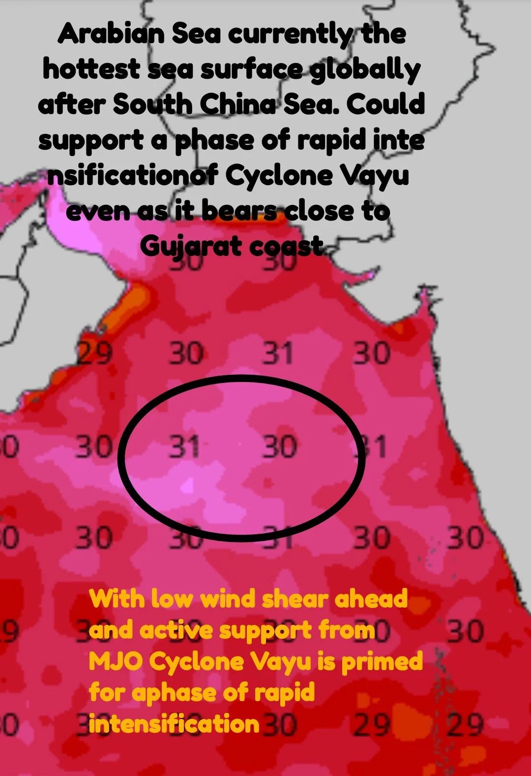
Additionally one needs to take into account the warm sea surface in the region. Arabian Sea traditionally is one of the warmest Oceans during Northern Hemisphere summers. Currently only South China Sea is possibly warmer globally compared to the patch Cyclone Vayu is about to enter. With both atmosphere and Ocean in perfect sync this system is likely to see a burst of intensification over the next 24 to 48 hours.
Keeping the recent trend of cyclones of recent times intensifying even as it bears close to the coast we may see Cyclone Vayu also go through similar life cycle as it nears Gujarat. With models traditionally underestimating cyclone intensities over the Arabian Sea there is a firm possibility this one would recurve towards Middle East by which time dry air may finally catch up with the system


