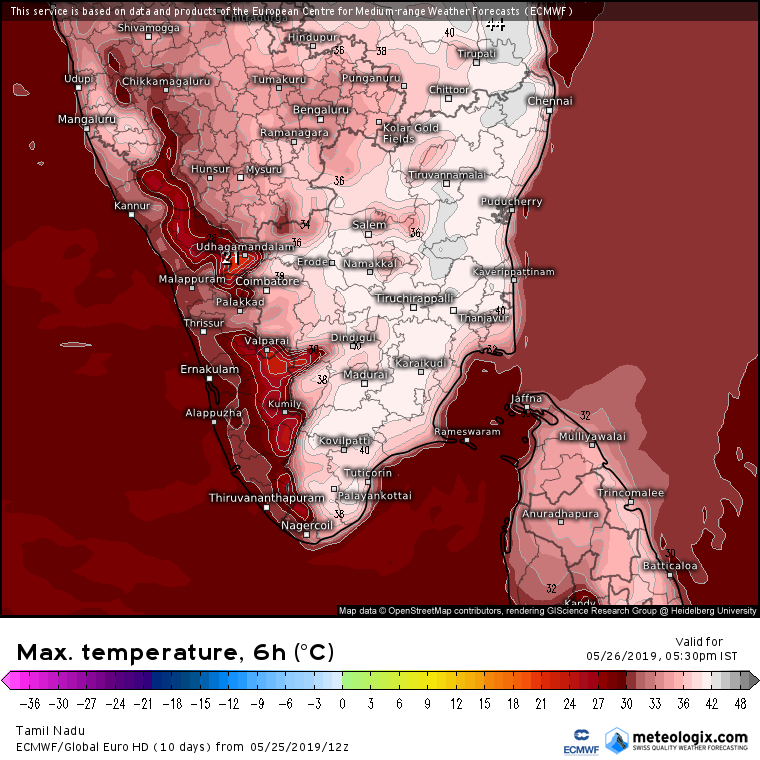
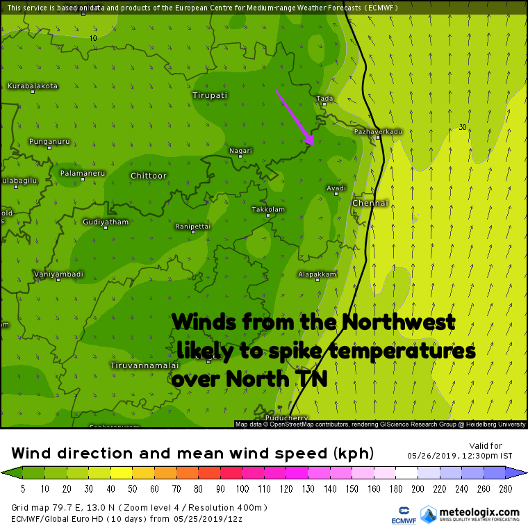
With monsoon dynamics stuttering and stalling as it tries to build some momentum to move into Indian Sub continent summer has been par for course until now in Tamil Nadu. Even yesterday the IMD observatory at Nungambakkam recorded 2 degrees below normal aided by the sea breeze arrival at mid morning.

Today though weather models indicate Winds from the Northwest to spike the temperatures over North TN, in particular the places to the west of Chennai. While the city areas may benefit from the arrival of sea breeze around afternoon the suburbs could see temperatures top 40°C. Parts of Thiruvallur, Vellore and Kanchipuram districts could see temperatures during afternoon cross 42 / 43°C.

But the big take away in the current scenario is unlike Westerlies during early May which spikes temperatures in Chennai to 42 / 43°C once monsoon picks up the moisture intrusion across Peninsular India will act as a shield from extremely high temperatures despite Westerly regime. Sea breeze may be delayed during this period but scorching temperature possibilities reduce surely.


