As we get into the second week of May its that time of the year which is expected to see the hottest phase for places like Chennai in North Tamil Nadu. Yesterday Chennai AP crossed 41ºC while Nungambakkam could thank the sea breeze for yet another day keeping things under control.

But overall things though are heating up with weather models indicating another hot day across Tamil Nadu. In particular North Tamil Nadu stretch from north of Ariyalur to South AP coast is likely to see day time maximum temperatures stay about 5 degrees above normal. Even the western suburbs of Chennai like Poonamallee, Avadi could see temperatures in the region of 42ºC.

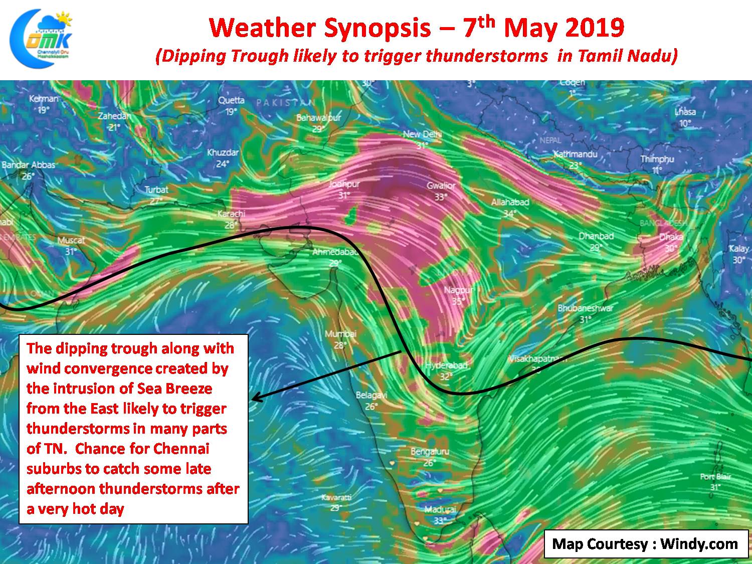
The solace though is the probability of thunderstorms after what will be another extremely hot day. Wind charts indicate the influence of the dipping trough from the northern parts of Peninsular India in creating conditions conducive for thunderstorms to develop. With the intrusion of sea breeze likely later in the afternoon it could create a lower level convergence for thunderstorms to start over interior Tamil Nadu. While chance for Chennai remains a case of ifs and buts due to the unsupportive wind pattern at this time of the year. Lucky suburbs could see some overhead development to bring light to moderate showers in one or two places.


