Seasonal Winter Weather has been prevailing across Peninsular India and the rest of Indian Sub Continent. While the abnormally cold conditions in the interior places of Tamil Nadu have eased to some extent cold weather continues to persist though. With no major phenomenon to influence weather conditions have remained dry.

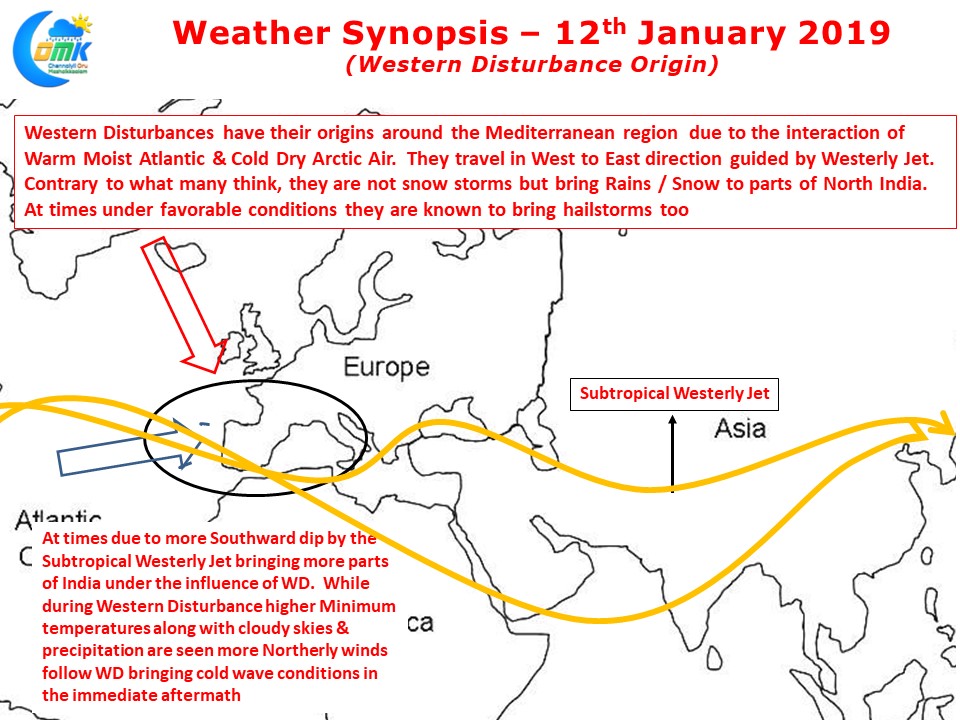
During the winter months one tends to hear Western Disturbance often especially in conjunction with snowfall in Kashmir. These are extra tropical weather events that take origin near the Mediterranean Sea triggered by the interaction between Cold Arctic Air & Warm Atlantic Air a classic case of cyclogenesis through cold / warm front interplay. Guided by the Sub Tropical Westerly Jet they travel West to East. Contrary to what many people think they are not snow storms but play a crucial role in bringing rains for Rabi Period Wheat Crops while snow fall happens over the upper reaches of Himalayas.

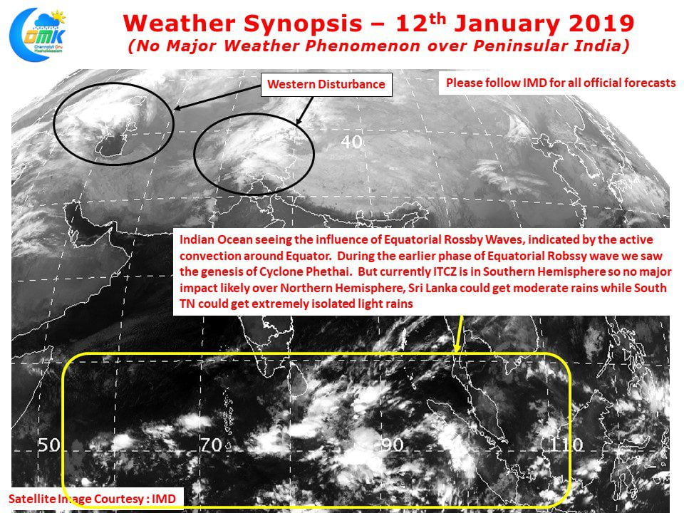
Satellite image reveal clear skies over Indian Sub Continent while Equatorial Waters is showing some convection. Weather charts indicate the passing of Equatorial Rossby Wave over Indian Ocean which has created an area of disturbance along the Equator. Regular observers of our blog will remember Cyclone Phethai saw its genesis influenced by Equatorial Rossby wave in December.
But in the current context with ITCZ remaining in the Southern Hemisphere the impact of ER Wave over Northern Hemisphere will be limited to moderate rains in Sri Lanka & possibly some light showers over very isolated parts of Coastal South TN over the next few days.


