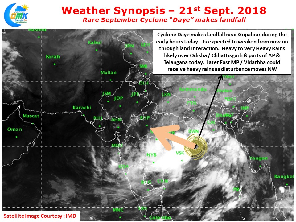
In a rare instance of cyclones during September Cyclone Daye made landfall near Gopalpur during the early hours today. While overall about 44 cyclone have formed in Bay of Bengal during the month of September the last time a cyclone happened during September was Pyarr during the year 2005 when it had its origins around Andaman Islands and made landfall very close to where Cyclone Daye made landfall today morning.
During Southwest Monsoon the wind shear is typically very high on account of strong Tropical Easterly Jet preventing the formation of cyclones. Though Monsoon Depressions at times attain wind speeds close to Cyclone thresholds often they are rain bearing systems than systems that cause disruptions through wind force. The current system is expected to weaken fast over the next 24 hours or so winding its way through Odisha, Chhattisgarh, MP while it is expected to dump heavy rains at many places over these regions as its moves fast. It remains to be seen if the monsoon withdrawal process will kick start once the current disturbance completes its cycle.
Under the impact of the now dissipating Cyclone Daye parts of Odisha, Telengana, North AP, Chhattisgarh and Vidharbha & East MP region could get moderate rains at many places and heavy rains in a few places. Isolated places could get very heavy rains during the early part of the day.
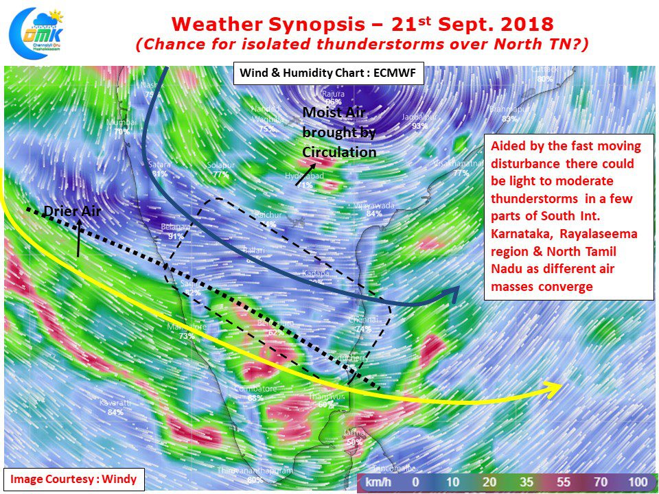
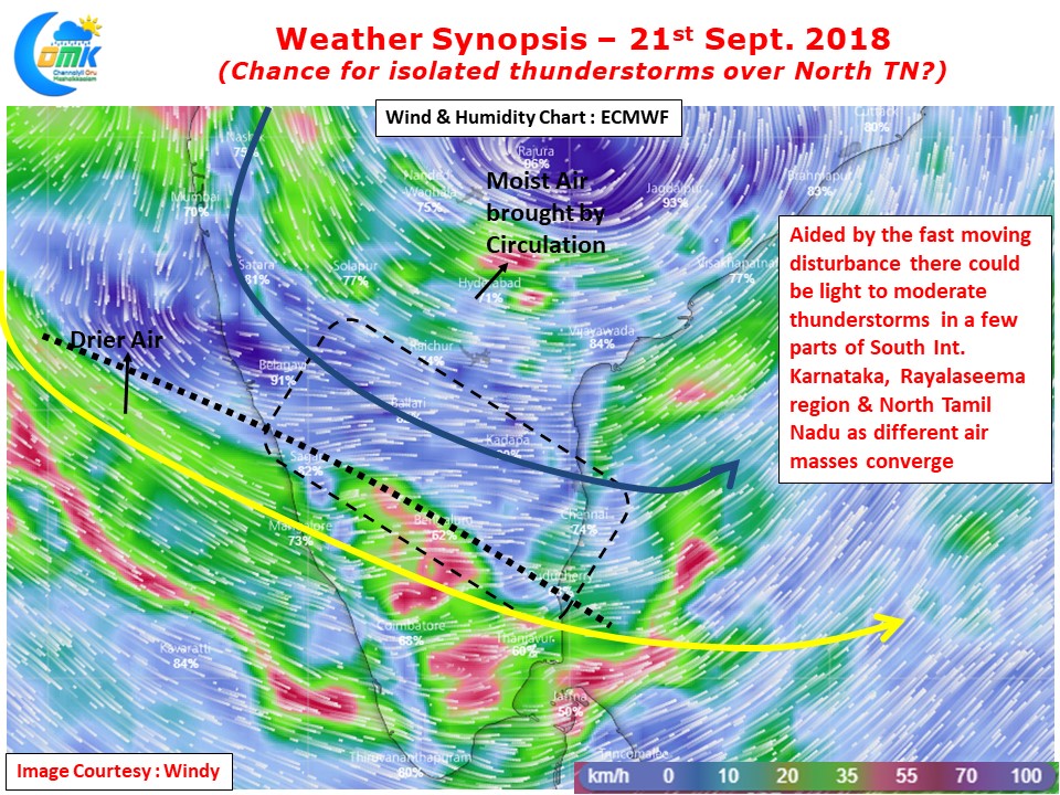
With the Westerlies more streamlined due to the Cyclone things will remain relatively subdued on the thunderstorm front over Tamil Nadu. Models indicate parts of South Karnataka & adjoining parts of Rayalaseema and North TN could see light to moderate thunderstorm activity later in the evening on account of converging air of different masses. Wind charts clearly indicate a sort of Dry Air boundary running close to Chennai latitude which could bring some atmospheric instability triggering thunderstorms. But these would isolated and moderate at best.


