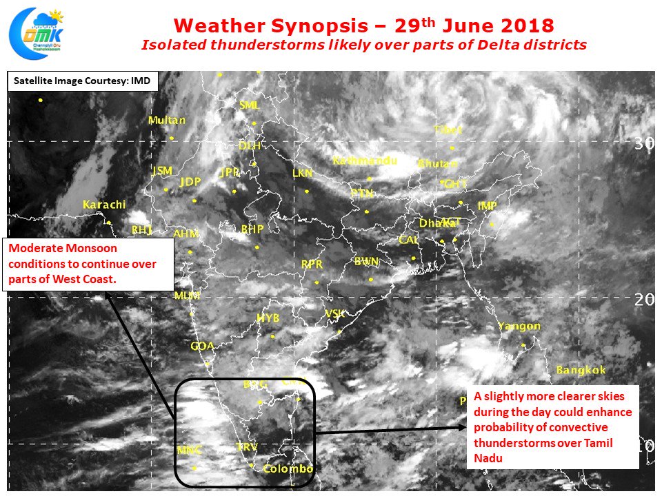
With Southwest Monsoon on Durango mode for the past few days thunderstorm activity while not completely stopping saw a weak phase over most of Tamil Nadu. After stalling for majority of June aided by positive developments on either side Southwest Monsoon went on a coast to coast slalom run covering most of the country except for a small patch in Gujarat and Rajasthan.
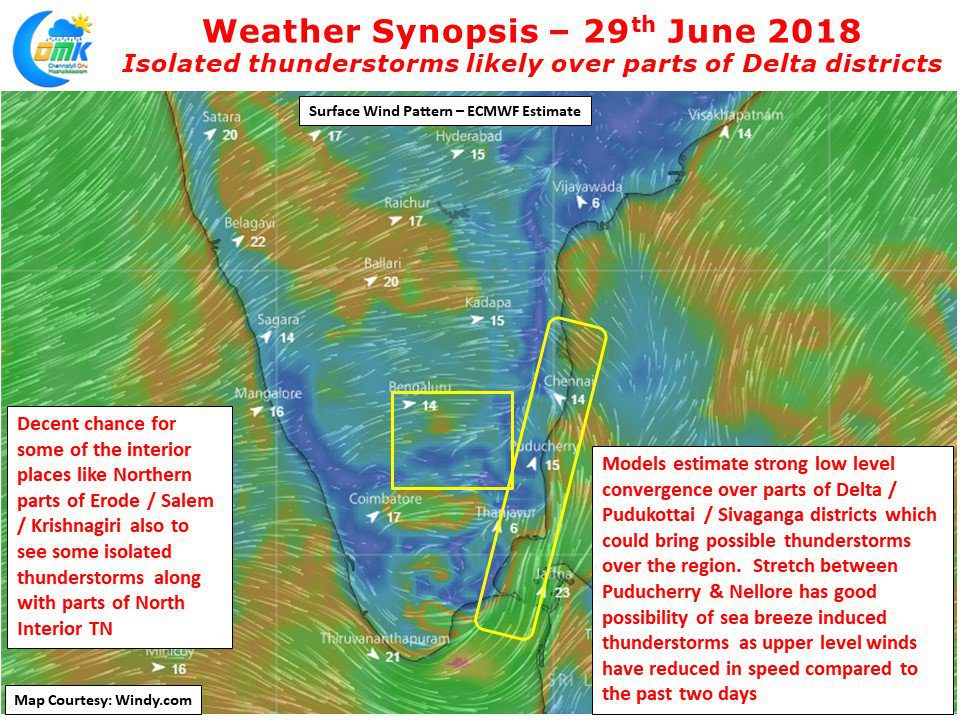
While Northeast Monsoon provides bulk of rains to Delta districts, thunderstorm activity during Southwest Monsoon also is a good contributor to the agricultural activities there. With the unique location being a positive factor in the land – sea breeze interaction more often than not the stretch between Sivaganga and Ariyalur sees strong thunderstorm activity particularly during break in monsoon period. Numerical models indicate the Westerlies to slightly weaken over the next few days which will allow for the pick up of thunderstorm activity in interior Tamil Nadu and coastal areas aided by sea breeze.
Today there is a strong lower level convergence shown around parts of Delta and old Pudukkottai district region providing strong possibility for afternoon / evening rains in these areas. Similarly a fairly strong sea breeze front is likely to trigger thunderstorm activity between Puducherry and Nellore. In this case the exact impact location will also depend a lot on the interplay between the thunderstorms developed by the lift created by Eastern Ghats. As we get to the weekend and early next week not only chance improves but also the impact areas could widen making more places get rains


